File list
Jump to navigation
Jump to search
This special page shows all uploaded files.
| Date | Name | Thumbnail | Size | User | Description | Versions |
|---|---|---|---|---|---|---|
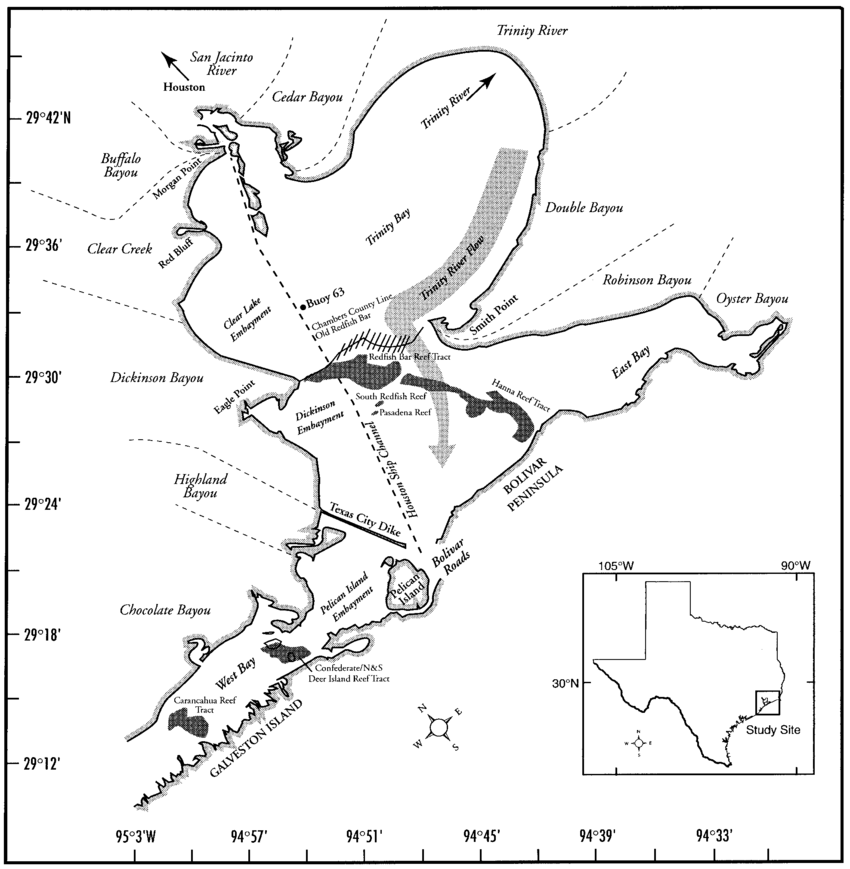
| 23:19, 18 April 2018 | DPSIR galveston bay.JPG (file) |  |
109 KB | Maggiew (talk | contribs) | Author: Margaret Weber | 1 |
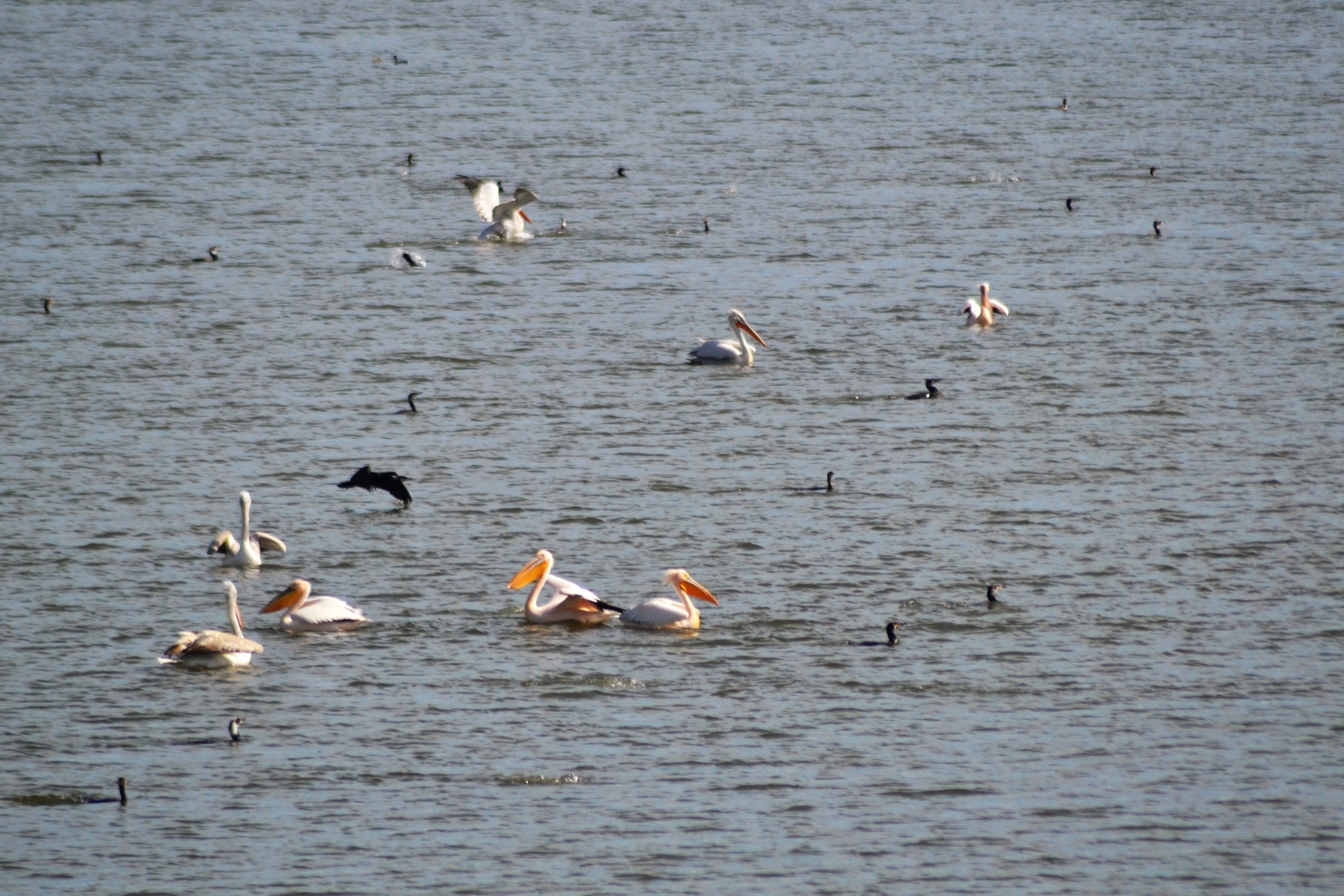
| 23:23, 18 April 2018 | Battleontheice.jpg (file) |  |
104 KB | Mafaldal (talk | contribs) | 1 | |
| 23:30, 18 April 2018 | Parnu heridtage liisi 2.jpg (file) |  |
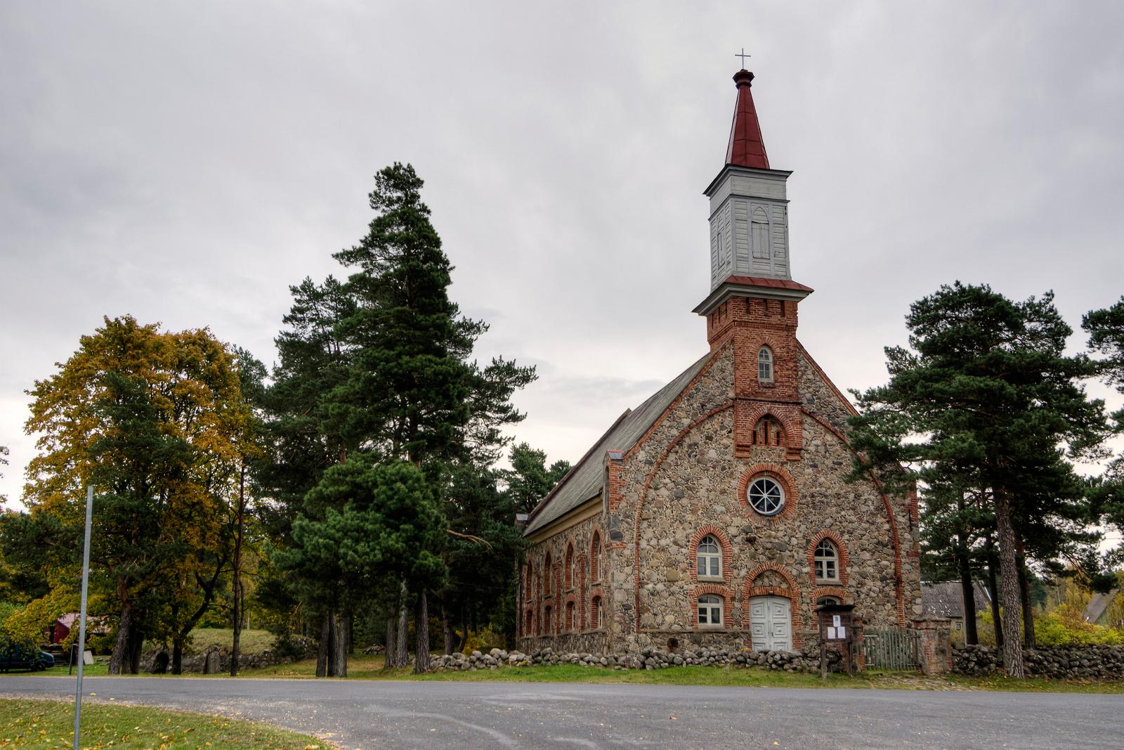
283 KB | Mariep (talk | contribs) | National heritage object - Häädemeeste St. Michaels Church (1874) (source: https://commons.wikimedia.org/wiki/File:H%C3%A4%C3%A4demeeste_kirik_01.jpg) | 2 |
| 23:31, 18 April 2018 | Parnu heridtage liisi 4.jpg (file) |  |
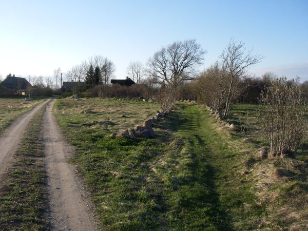
115 KB | Mariep (talk | contribs) | Heritage object - an old village street lined with stonewalls in Rannametsa village (source: http://pk.rmk.ee/parandkultuur/RH/RH379.jpg) | 1 |
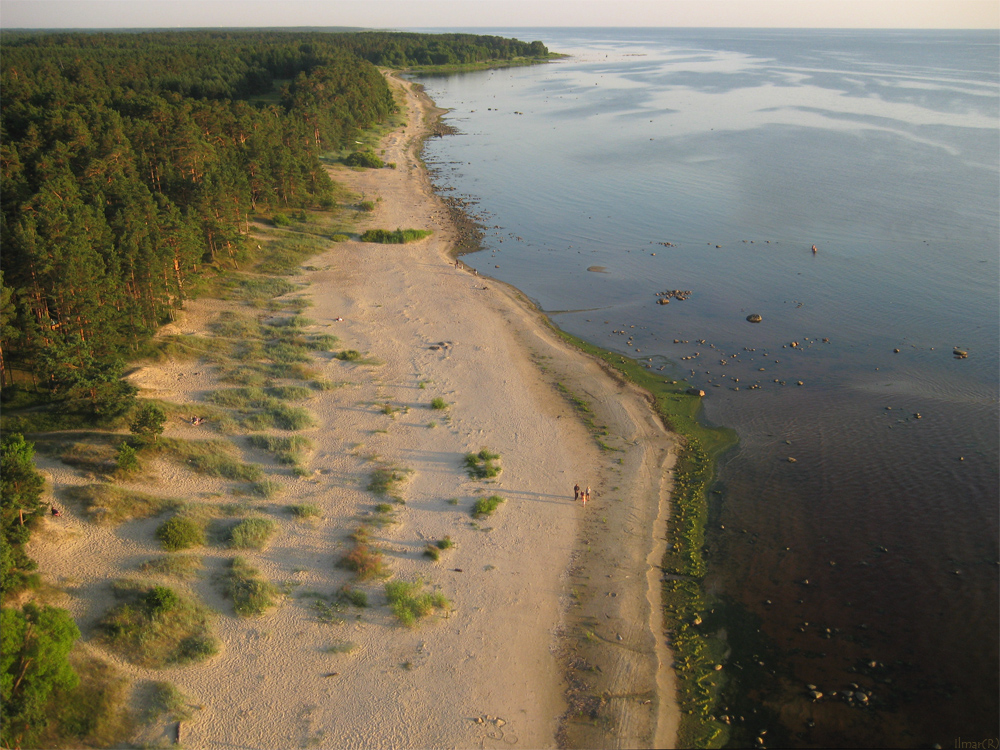
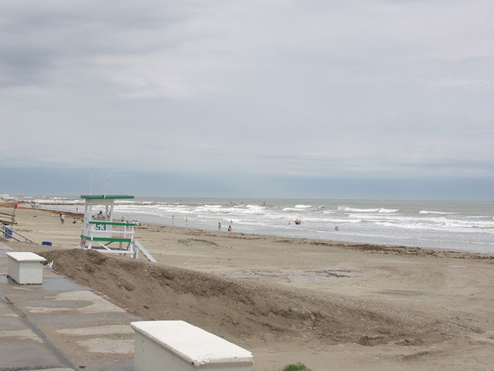
| 23:32, 18 April 2018 | Parnu coast liisi 3.JPG (file) |  |
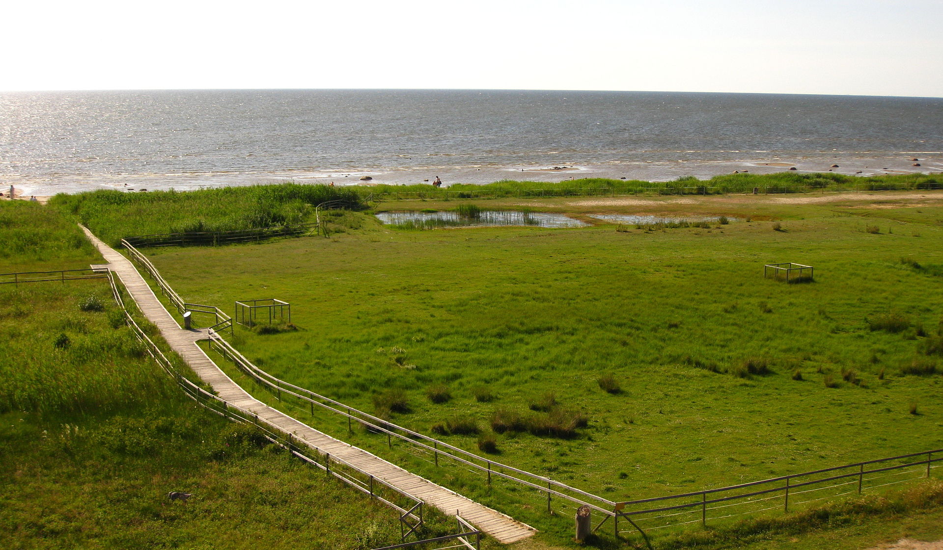
467 KB | Mariep (talk | contribs) | Valuable landscape - Kabli nature reserve (https://commons.wikimedia.org/wiki/Category:Kabli#/media/File:Kabli_LKA11.JPG) | 1 |
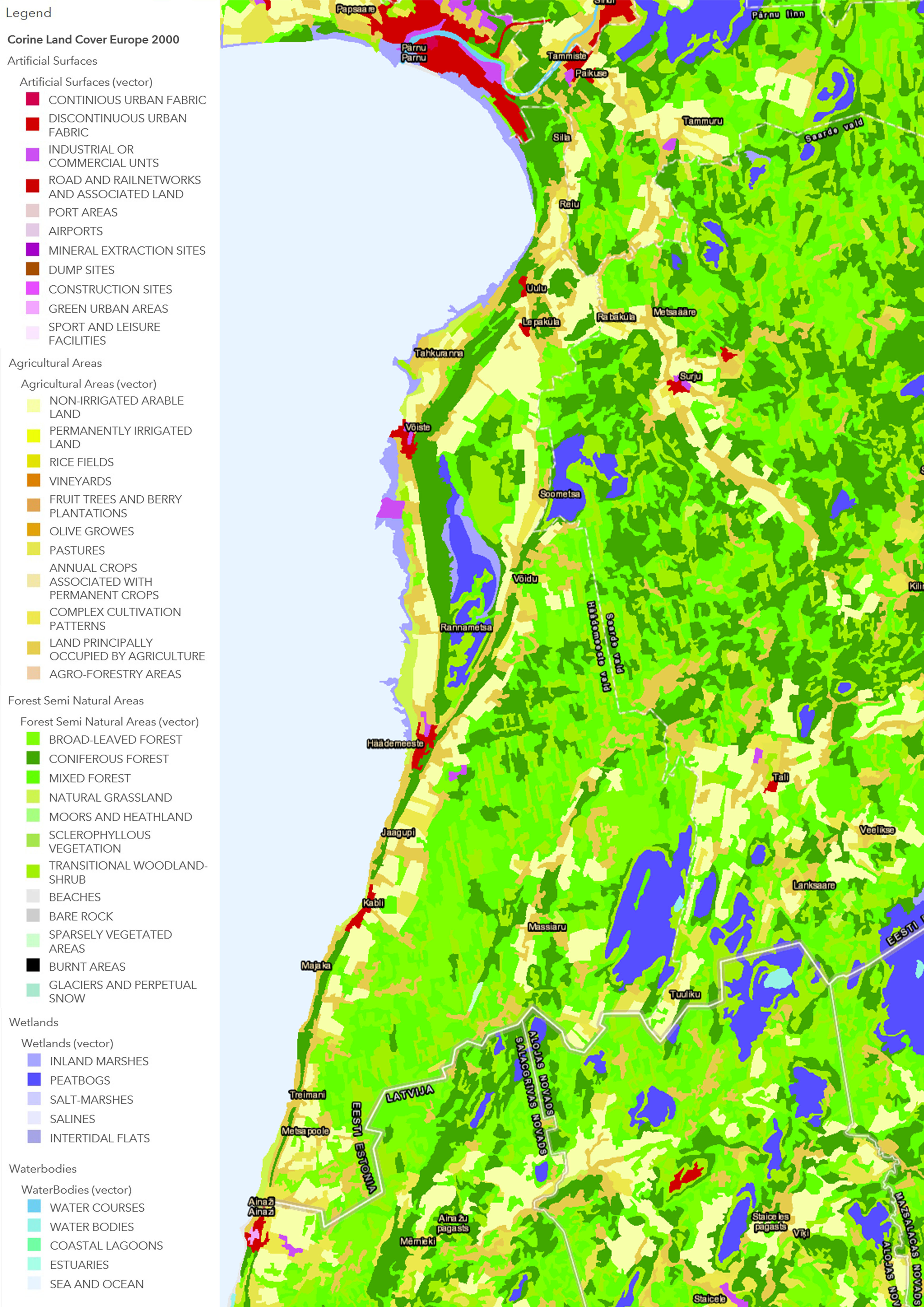
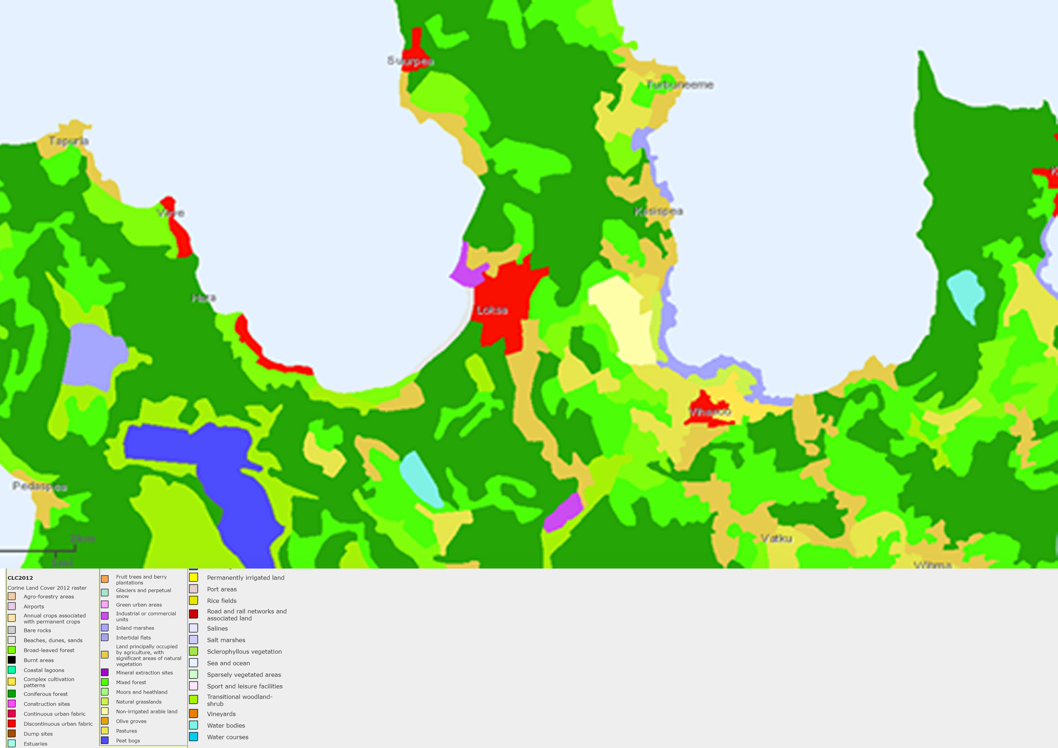
| 23:35, 18 April 2018 | Parnu corinemap mariep.jpg (file) |  |
1.85 MB | Mariep (talk | contribs) | Map of land use (CORINE) Source : http://www.arcgis.com/home/webmap/viewer.html?webmap=6866b2f3a44c4ee3bde8 | 2 |
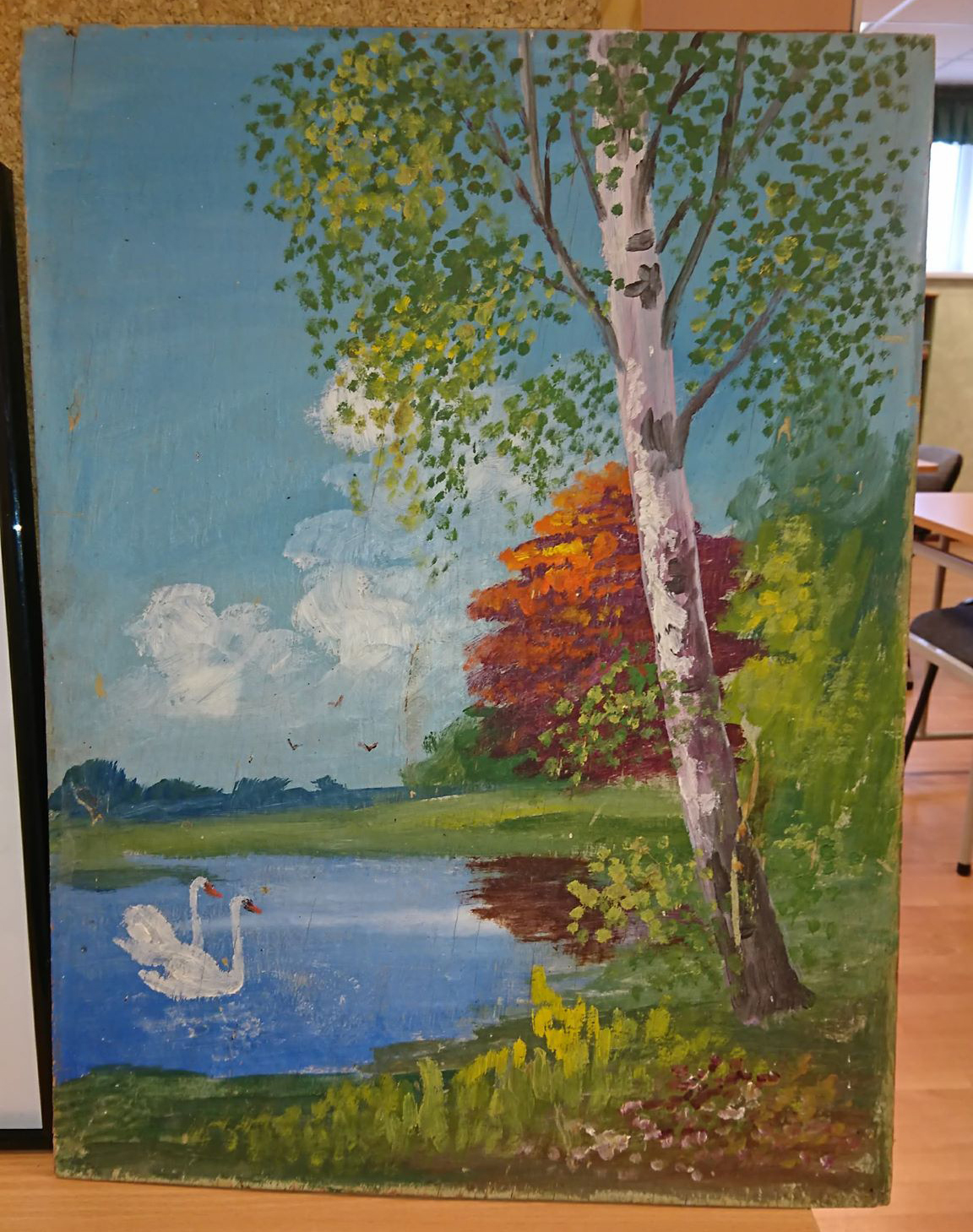
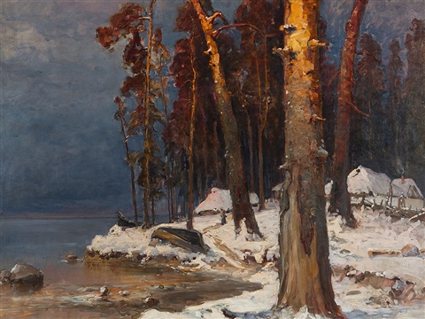
| 23:40, 18 April 2018 | Painting 1.jpg (file) |  |
996 KB | Mariep (talk | contribs) | 1 | |
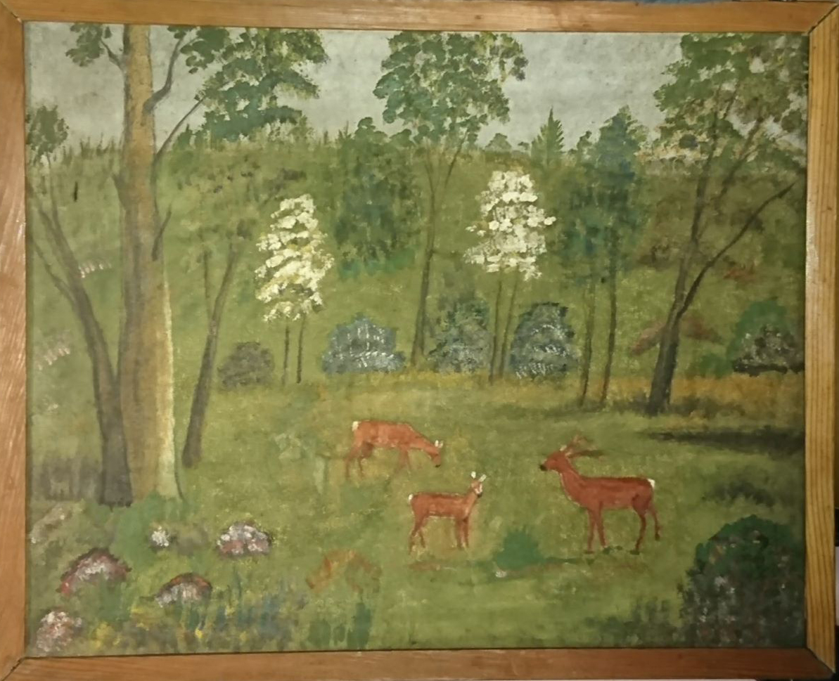
| 23:40, 18 April 2018 | Painting 2.jpg (file) |  |
635 KB | Mariep (talk | contribs) | 1 | |
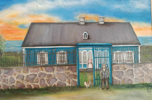
| 23:41, 18 April 2018 | Parnu heridtage liisi 3.jpg (file) |  |
77 KB | Mariep (talk | contribs) | Dora-Alviine Kesper (born 1935) - House of Reeders farm in Kabli (source: https://rkhaademeeste.files.wordpress.com/2017/07/k122k.jpg?w=500) | 1 |
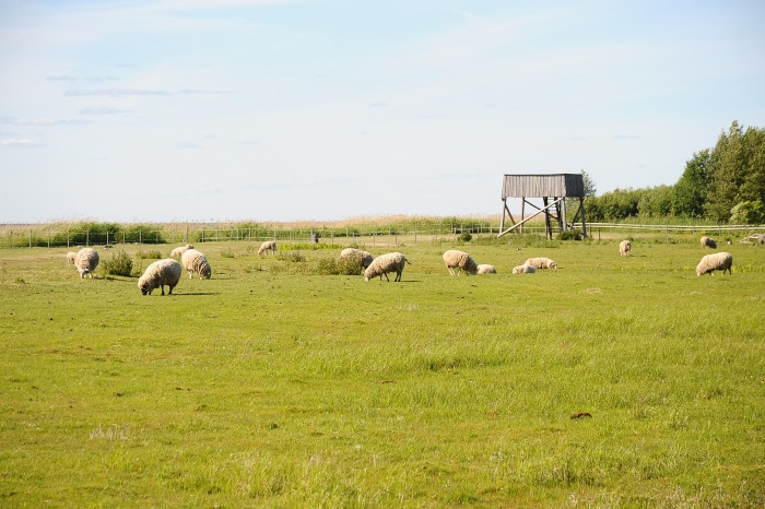
| 23:43, 18 April 2018 | Parnu coast liisi 1.jpg (file) |  |
103 KB | Mariep (talk | contribs) | Sheep at the Kabli coastal meadow (source: http://www.rannatee.ee/vacation-on-romantic-coastline/with-children-on-the-coastline/kabli-beach-and-nature-center) | 1 |
| 23:45, 18 April 2018 | Parnu coast liisi 2.jpg (file) |  |
492 KB | Mariep (talk | contribs) | Lemme beach (source: https://1.bp.blogspot.com/-LYawLCLQO7U/UdcE-be-VyI/AAAAAAAABo8/xUuPR5Kn8QU/s1600/Lemme01.jpg) | 1 |
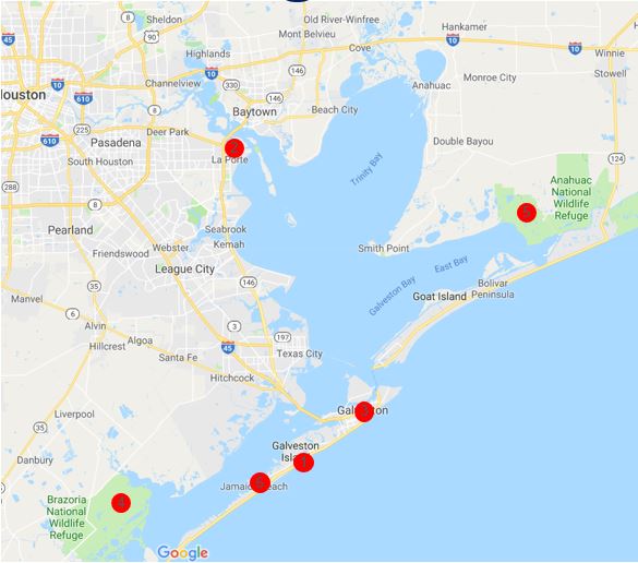
| 23:52, 18 April 2018 | Sacred spaces map.JPG (file) |  |
51 KB | Maggiew (talk | contribs) | Base from Google Maps Map created by M. Weber | 1 |
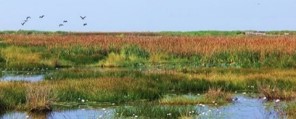
| 00:00, 19 April 2018 | Lakepeipsibye.JPG (file) |  |
81 KB | Mafaldal (talk | contribs) | 1 | |
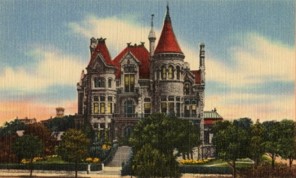
| 00:06, 19 April 2018 | Bishops palace east end district.jpg (file) |  |
18 KB | Maggiew (talk | contribs) | Bishop's Palace, Galveston, TX postcard circa 1900 Acquired from: https://en.wikipedia.org/wiki/Bishop%27s_Palace,_Galveston | 1 |
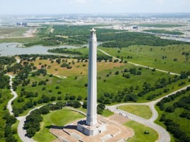
| 00:10, 19 April 2018 | San jacinto battlefield.jpg (file) |  |
22 KB | Maggiew (talk | contribs) | San Jacinto Battleground State Historic Site, La Porte Acquired from: www.tourtexas.com/destinations/la-porte-things-to-do | 1 |
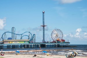
| 00:14, 19 April 2018 | Pleasure pier.jpg (file) |  |
16 KB | Maggiew (talk | contribs) | Historic Pleasure Pier amusement park and beach, 09.10.2014 Author: D. Lett Acquired from: www.dreamstime.com/editorial-stock-photo-galveston-pleasure-pier-beach-texas-sept-historic-amusement-park-image45248873 | 1 |
| 00:18, 19 April 2018 | Galveston Island State Park.jpeg (file) |  |
61 KB | Maggiew (talk | contribs) | Acquired from: https://tpwd.texas.gov/state-parks/galveston-island/nature | 1 |
| 00:19, 19 April 2018 | Winter at lake peipus by yuliy yulevich (julius) klever.jpg (file) | _klever.jpg) |
81 KB | Mafaldal (talk | contribs) | 1 | |
| 00:23, 19 April 2018 | Brazoria National Wildlife Preserve.jpg (file) |  |
21 KB | Maggiew (talk | contribs) | Brazoria National Wildlife Preserve Author: Sondra G., 2015 Acquired from: www.tripadvisor.com/Attraction_Review-g55865-d7376424-Reviews-Brazoria_National_Wildlife_Refuge-Freeport_Texas.html#photos;geo=55865&detail=7376424&aggregationId=101 | 1 |
| 00:26, 19 April 2018 | Anahuac National Wildlife Refuge.jpg (file) |  |
13 KB | Maggiew (talk | contribs) | Anahuac National Wildlife Refuge Acquired from: Chambers Wild | 1 |
| 00:34, 19 April 2018 | Sacred spaces map2.JPG (file) |  |
66 KB | Maggiew (talk | contribs) | Base by Google Maps Map created by M. Weber | 1 |
| 00:36, 19 April 2018 | Sacred spaces map1.JPG (file) |  |
66 KB | Maggiew (talk | contribs) | 2 | |
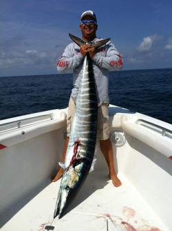
| 00:45, 19 April 2018 | Fisher.JPG (file) |  |
16 KB | Maggiew (talk | contribs) | Fisher and fish Acquired from: www.fishndivers.com/ | 1 |
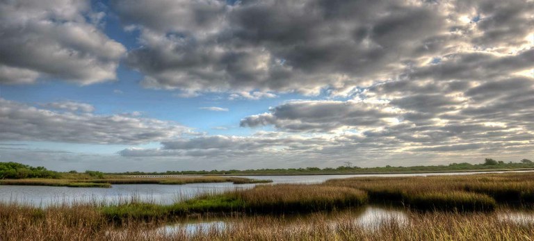
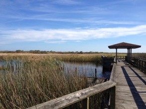
| 00:47, 19 April 2018 | Wetland.JPG (file) |  |
88 KB | Mafaldal (talk | contribs) | 1 | |
| 00:48, 19 April 2018 | Beach2.jpg (file) |  |
49 KB | Maggiew (talk | contribs) | Galveston Beach Author: J. Ovalle | 1 |
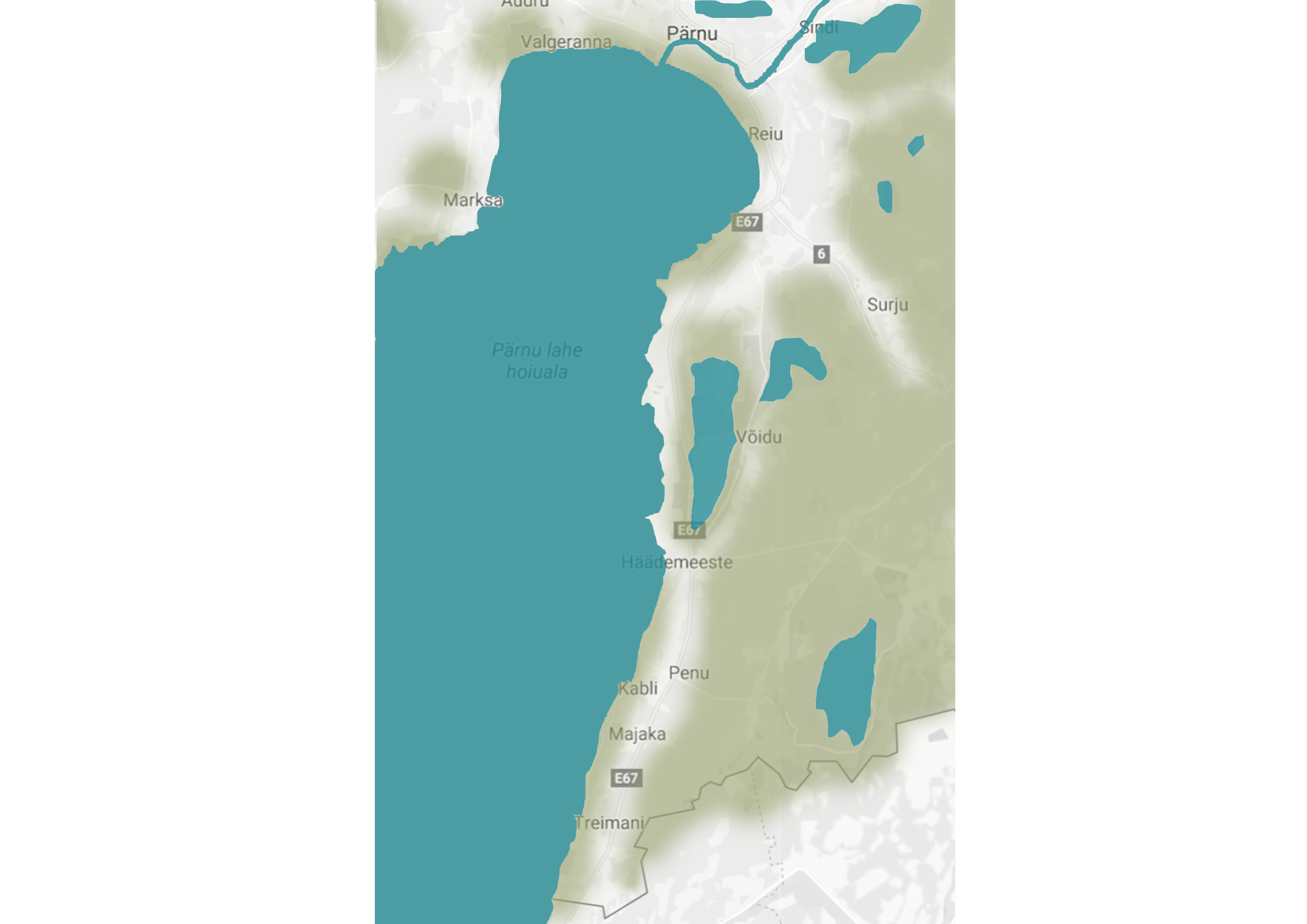
| 00:48, 19 April 2018 | Blue green.jpg (file) |  |
357 KB | Mariep (talk | contribs) | Map of Blue/Green Infrastructure | 1 |
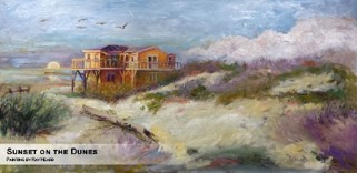
| 00:51, 19 April 2018 | Painting-Sunset on the Dunes .jpg (file) |  |
18 KB | Maggiew (talk | contribs) | 'Sunset on the Dunes' Author: Ray Heard | 1 |
| 00:54, 19 April 2018 | Painting marshland.jpg (file) |  |
24 KB | Maggiew (talk | contribs) | Painting depicting Rollover Pass in Gilchrist By: Blaze Design | 1 |
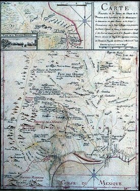
| 00:57, 19 April 2018 | 1st map.jpg (file) |  |
60 KB | Maggiew (talk | contribs) | 1st known map of area By: Jean-Baptiste Bénard de la Harpe, 1721 | 1 |
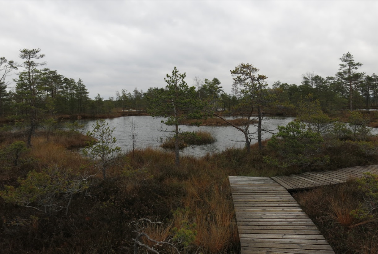
| 01:01, 19 April 2018 | Bog.jpg (file) |  |
280 KB | Mariep (talk | contribs) | Luitemaa LKA bogs source: https://get.google.com/albumarchive/117765639814313819676/album/AF1QipPt-j11r-wWkktx6G5T1lG8TYT7HFbd2wRZBEQB/AF1QipNaWnRUcWucU1zvVg0WI3ibOtIdaXUjYBt5gffL?source=pwa#6464820654823054258 | 1 |
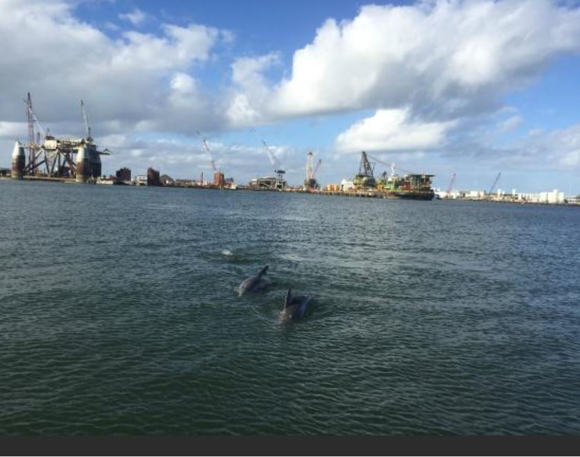
| 01:01, 19 April 2018 | Dolphins and oil rigs.JPG (file) |  |
78 KB | Maggiew (talk | contribs) | Industrial area shares space with marine animals. Author: Ferdo M. Acquired from: <a href="https://www.tripadvisor.com/LocationPhotoDirectLink-g55879-d7263746-i127098732-Caribbean_Breeze_Boat_Rental_Parasail-Galveston_Galveston_Island_Texas.html#127098... | 1 |
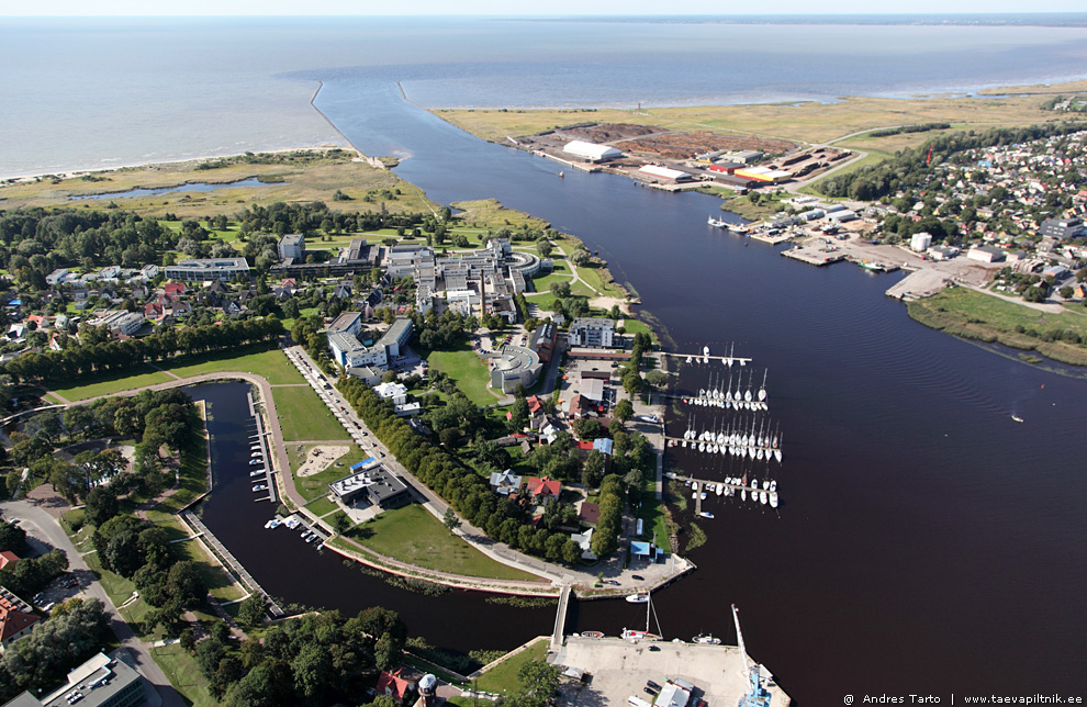
| 01:08, 19 April 2018 | MG 7738.jpg (file) |  |
321 KB | Mariep (talk | contribs) | Delta of Pärnu river sources: http://www.taevapiltnik.ee/blog/tag/aerofoto-parnust/ | 1 |
| 01:09, 19 April 2018 | Blue flow.png (file) |  |
304 KB | Maggiew (talk | contribs) | Authors: Hoffmann et al. 1995, Powell et al. 2003 | 1 |
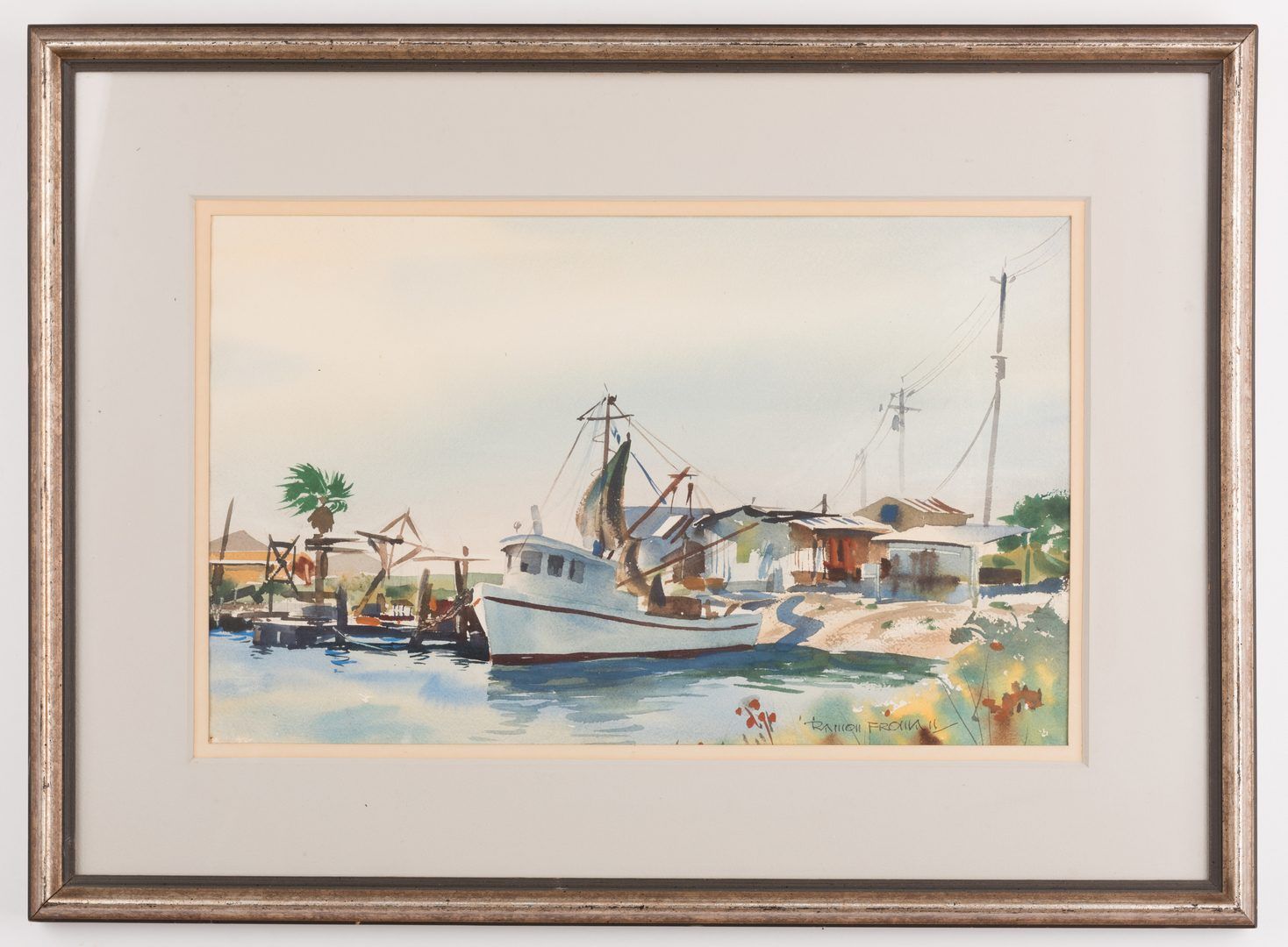
| 01:15, 19 April 2018 | Ramon Froman WC Galveston Bay boat.jpg (file) |  |
167 KB | Maggiew (talk | contribs) | Galveston Bay Painted by Ramon Froman, mid/late 20th century | 1 |
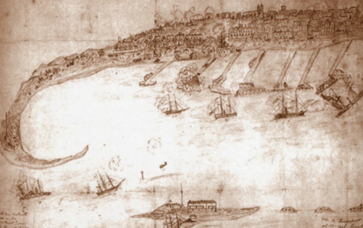
| 01:19, 19 April 2018 | Battle on the Bay.jpg (file) |  |
82 KB | Maggiew (talk | contribs) | Battle on the Bay: The Civil War Struggle for Galveston Author: unknown, circa mid/late 19th century | 1 |
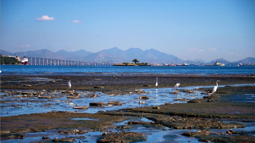
| 02:46, 19 April 2018 | Hypothesis-wasteland.JPG (file) |  |
103 KB | Maggiew (talk | contribs) | Image of heavily polluted bay in Brazil, Buda Mendes, Getty Image Acquired from: abcnews.go.com/International/photos/heavily-polluted-bay-host-rios-olympic-sailing-24840315/image-24840563 | 1 |
| 06:36, 19 April 2018 | StMary Monastery Eforie 23August.jpg (file) |  |
1.76 MB | Anamariamo (talk | contribs) | The Saint Mary Monastery in Techirghiol | 1 |
| 06:40, 19 April 2018 | Techirghiol Lake Eforie 23August.jpg (file) |  |
1.78 MB | Anamariamo (talk | contribs) | Techirghiol Lake | 1 |
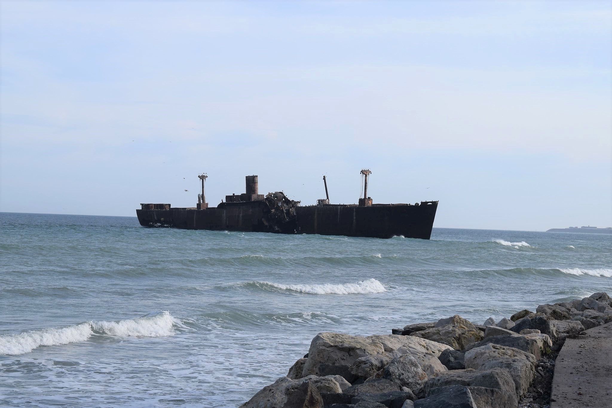
| 06:41, 19 April 2018 | WreckedShip Costinesti Eforie 23August.jpg (file) |  |
427 KB | Anamariamo (talk | contribs) | The wrecked ship in Costinesti seaside resort | 1 |
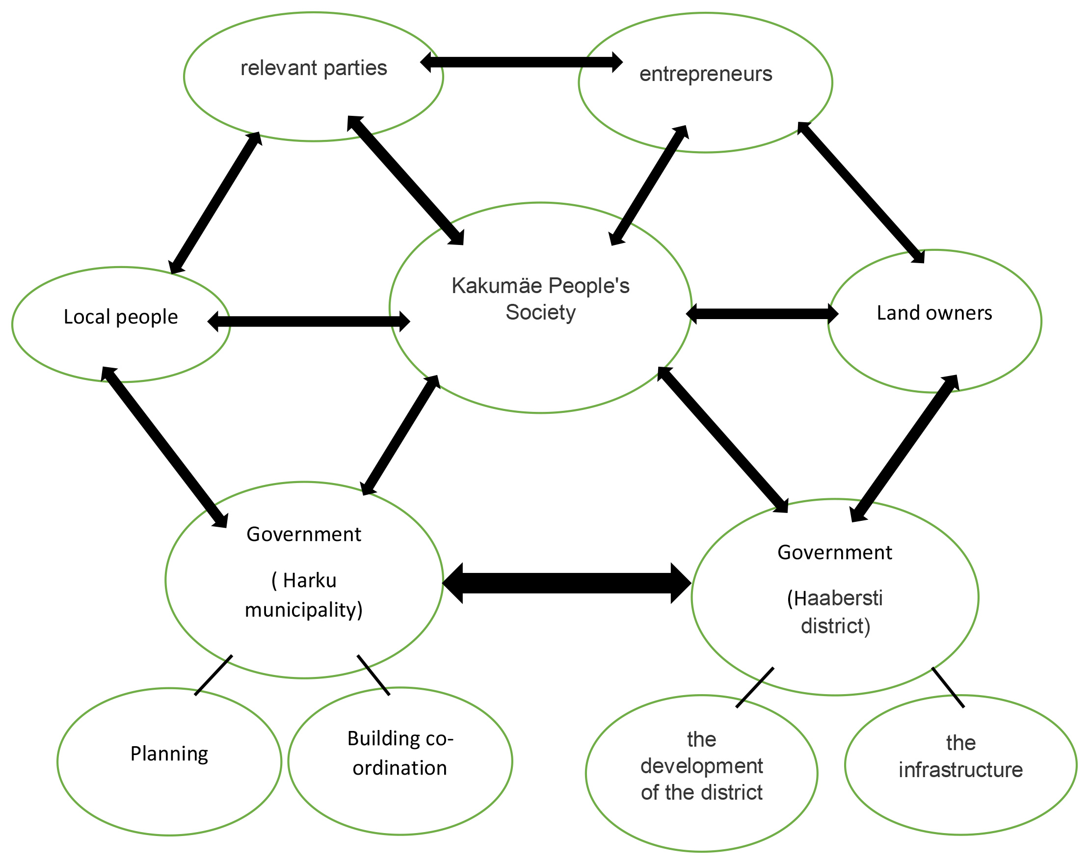
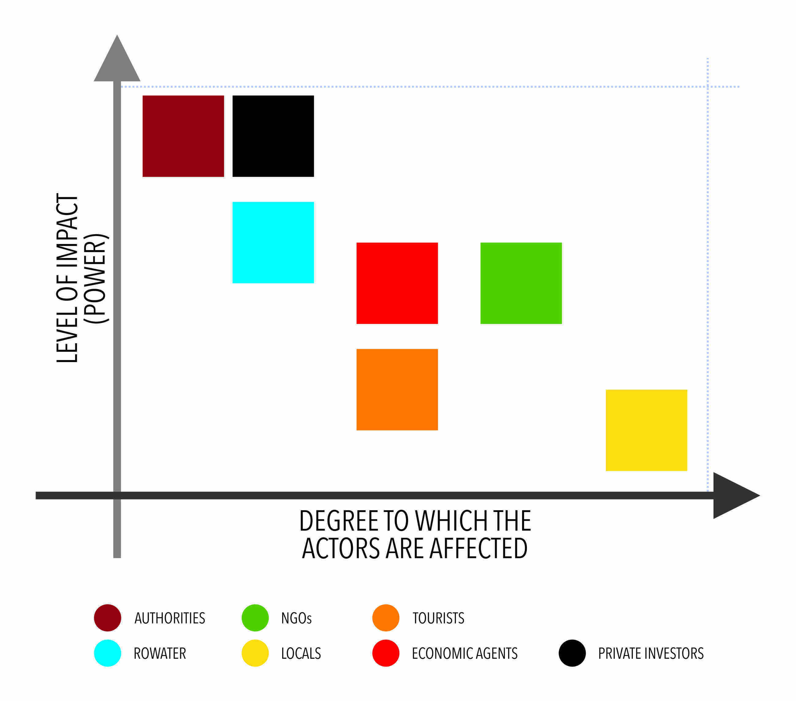
| 07:26, 19 April 2018 | Powermap of Kakumäe area showing actors and stakeholders.jpg (file) |  |
553 KB | Jannes (talk | contribs) | 1 | |
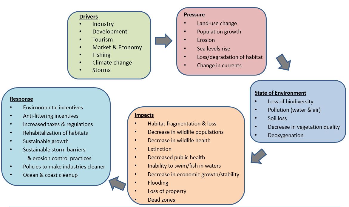
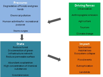
| 07:31, 19 April 2018 | DPSI(R) MODEL.jpg (file) | _MODEL.jpg) |
27 KB | Jannes (talk | contribs) | DPSI(R) model showing driving forces, pressures, state of situation and impact. | 1 |
| 07:43, 19 April 2018 | A1.1Geomorphology.jpg (file) |  |
295 KB | Mohammadn (talk | contribs) | Geomorphology | 1 |
| 07:50, 19 April 2018 | 30740346 1775603365793584 5108324988218245120 n.png (file) |  |
411 KB | Shimay (talk | contribs) | lahemaapoem | 1 |
| 07:51, 19 April 2018 | 30706815 1775603412460246 1783458107075067904 n.png (file) |  |
841 KB | Shimay (talk | contribs) | architectural competition | 1 |
| 08:06, 19 April 2018 | Landuse map.jpg (file) |  |
1.17 MB | Shimay (talk | contribs) | 1 | |
| 08:09, 19 April 2018 | A1.1Topography.jpg (file) |  |
378 KB | Mohammadn (talk | contribs) | A1.1Topography | 1 |
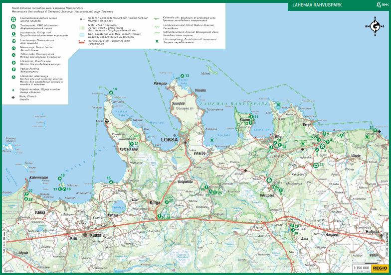
| 08:15, 19 April 2018 | Lahemaa matkarajad.JPG (file) |  |
112 KB | Mariliish (talk | contribs) | 1 | |
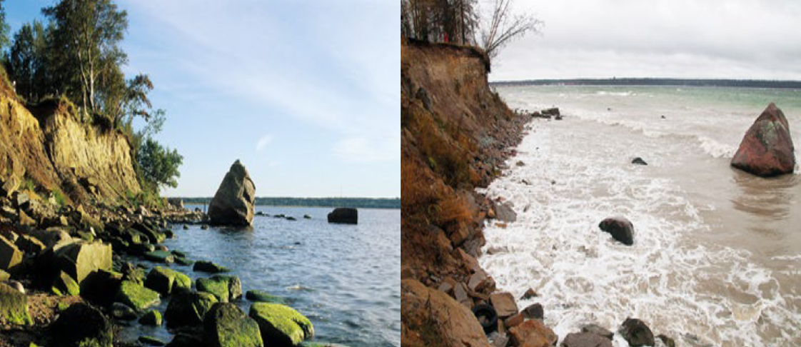
| 08:18, 19 April 2018 | Erosion of the Kakumae Cliff in Tallinn City .png (file) |  |
826 KB | Jannes (talk | contribs) | The erosion of the Kakumae Cliff in Tallinn City area. The boulder located at the shoreline in 1998 (left). Nowadays the shoreline is retreated about 8 m from the boulder (right). Photos: Tonis Saadre, Sten Suuroja. Reference: The Gulf of Finland asses... | 1 |
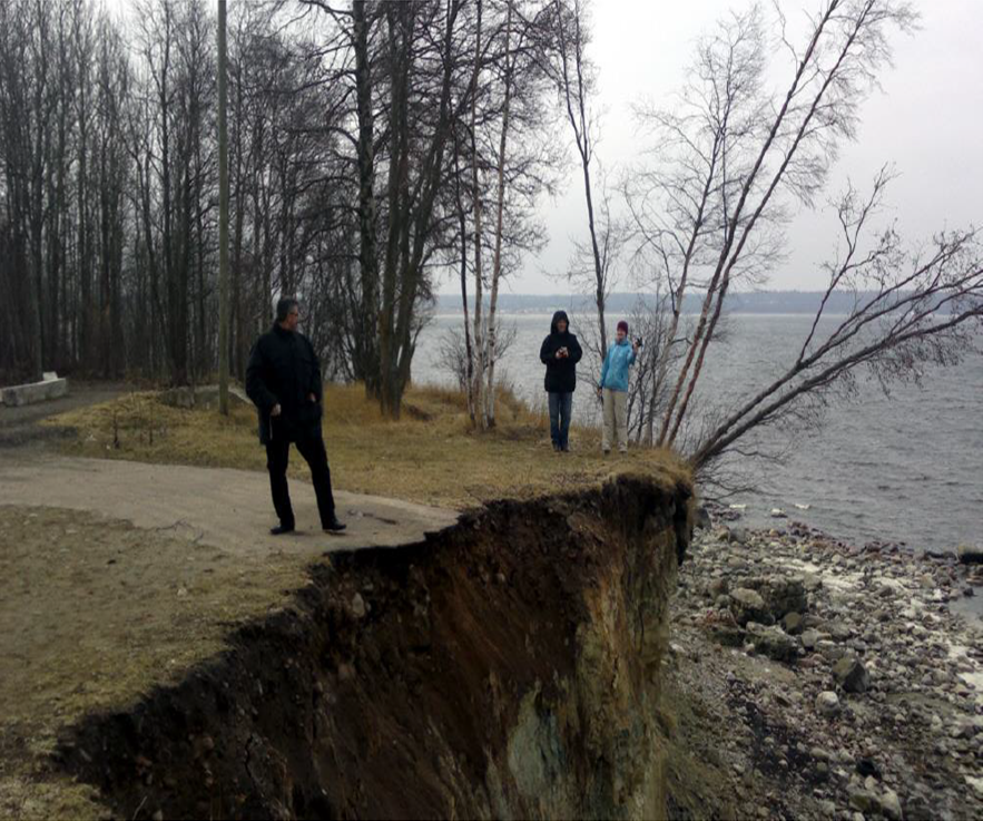
| 08:21, 19 April 2018 | Cliff edge of Kakumäe peninsula.png (file) |  |
1.1 MB | Jannes (talk | contribs) | Less than 10 m left until the edge of the 9-meter-high cliff reaches to Kakumäe Peninsula, Tallinn. Reference: Impact of climate change on Estonian coastal and inland wetlands-a summary with new results, http://www.borenv.net/BER/pdfs/ber12/ber12-653.... | 1 |
| 08:22, 19 April 2018 | Power Map Eforie 23August.jpg (file) |  |
1.9 MB | Anamariamo (talk | contribs) | 2 |