Uploads by Maggiew
Jump to navigation
Jump to search
This special page shows all uploaded files.
| Date | Name | Thumbnail | Size | Description | Versions |
|---|---|---|---|---|---|
| 06:53, 18 April 2018 | Galveston Bay aerial.jpg (file) |  |
51 KB | Clipping by M. Corazao | 1 |
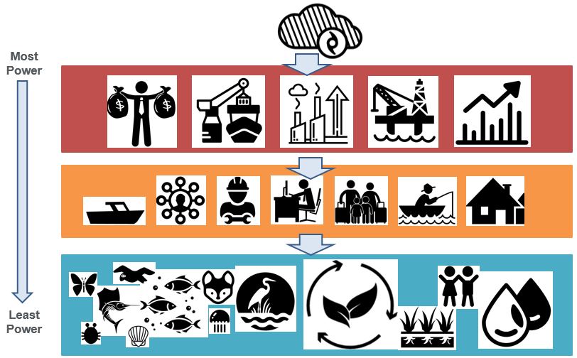
| 21:04, 18 April 2018 | Power Map GalvestonBay weber.JPG (file) |  |
86 KB | Power Map | 1 |
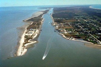
| 21:12, 18 April 2018 | Galveston Island boat exit weber.jpg (file) |  |
23 KB | Boat entering Galveston Bay from West Bay Acquired from: www.airphotona.com/previmg.asp?imageid=12537 | 1 |
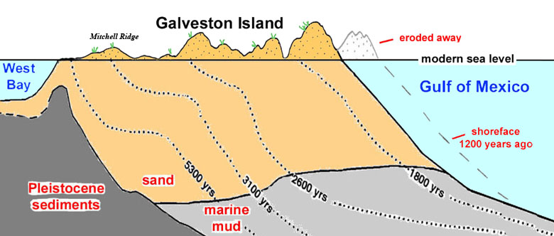
| 21:35, 18 April 2018 | Barrier Island.jpg (file) |  |
87 KB | Schematic cross-section showing the evolution of Galveston Island. Based on Rodriquez et al. 2004 and Fisk et al. 1972. Acquired from: www.texasbeyondhistory.net/mitchell/setting.html | 1 |
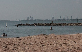
| 21:43, 18 April 2018 | La Porte Beach.jpg (file) |  |
21 KB | Swimmers at Sylvan Beach on Galveston Bay in La Porte Author: Dave Fehling, Houston Public Media Acquired from: www.houstonpublicmedia.org/articles/news/2015/08/12/120900/galveston-bay-oysters-under-assault-gets-bad-grade-for-pollution/ | 1 |
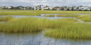
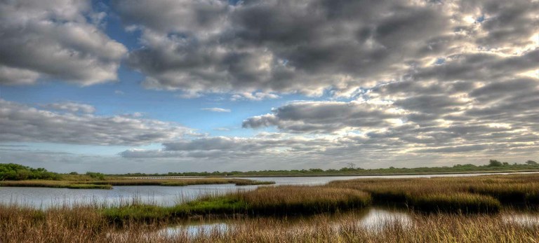
| 21:45, 18 April 2018 | Marshlands & houses.png (file) |  |
182 KB | HARC. Photo copyright istockphoto.com Acquired from: www.harcresearch.org/work/Galveston_Bay_Status_and_Trends | 1 |
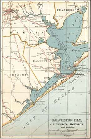
| 21:53, 18 April 2018 | Galveston Bay Map c. 1900.jpg (file) |  |
24 KB | Map of Galveston Bay, Houston, and vicinity (c. 1900), from the 10th edition of Encyclopædia Britannica. Encyclopædia Britannica, Inc Acquired from: www.britannica.com/place/Galveston-Bay | 1 |
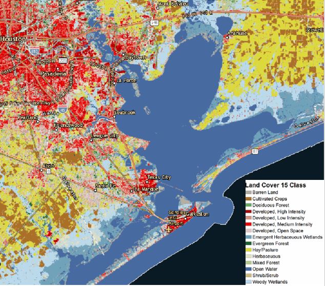
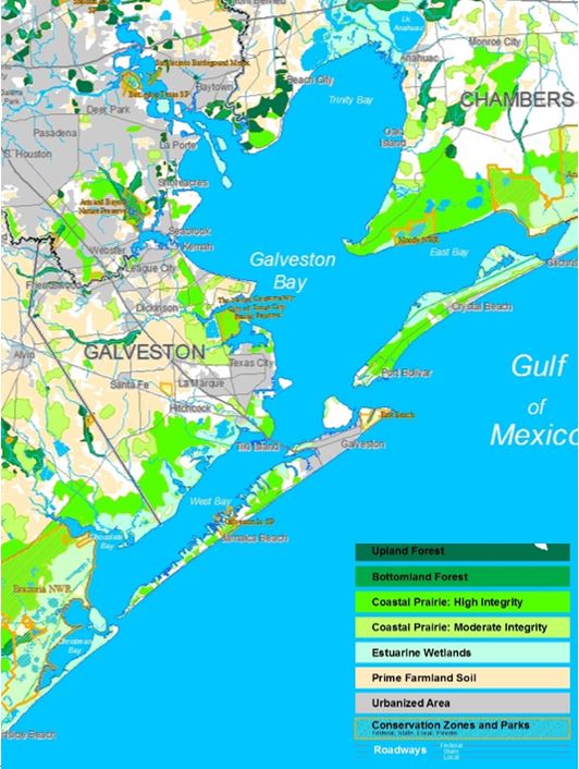
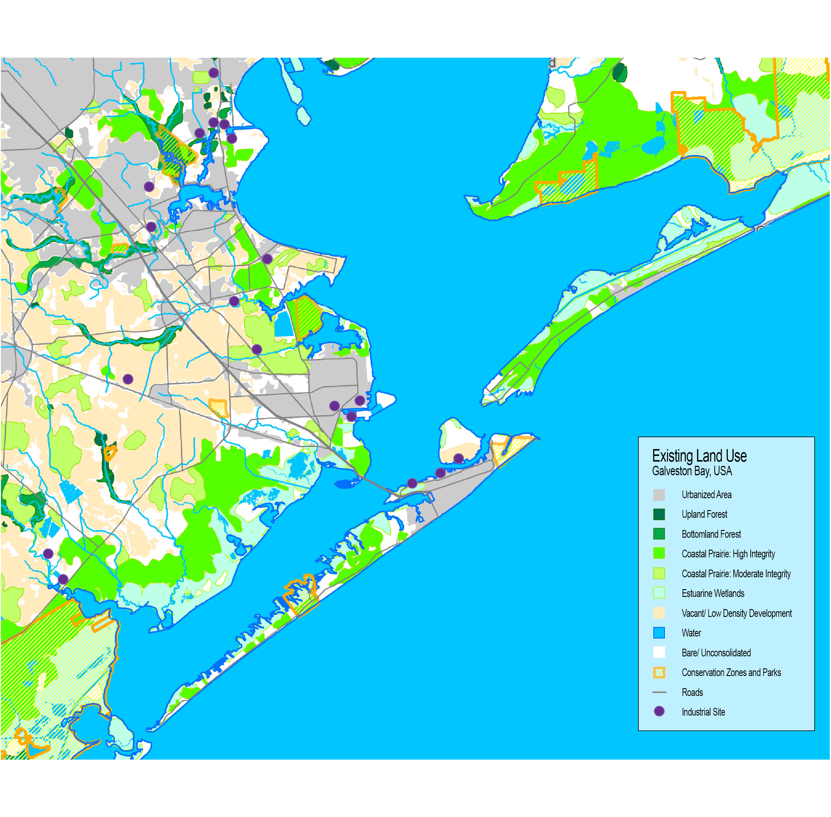
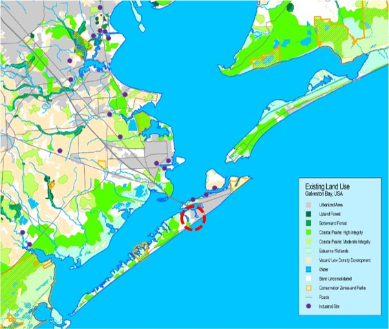
| 21:59, 18 April 2018 | Land use 2017.JPG (file) |  |
108 KB | Land use: H-GAC’s interactive map Acquired from: h-gac.com/community/socioeconomic/land-use-data/default.aspx | 1 |
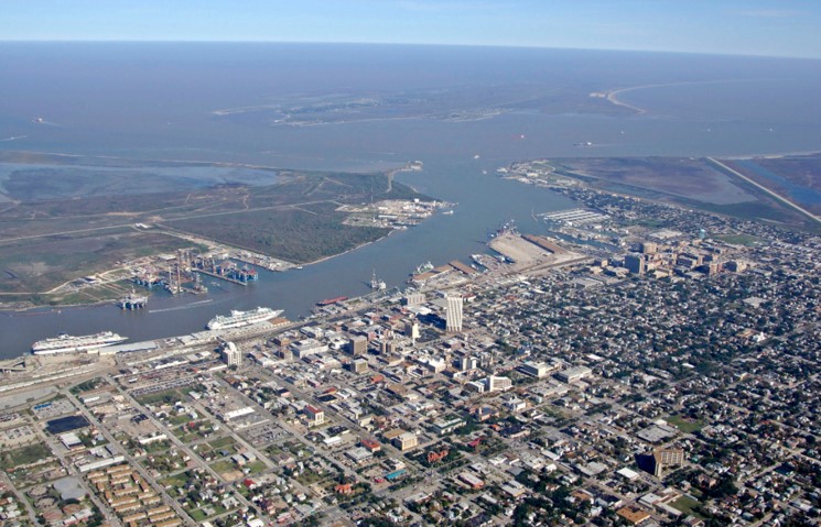
| 22:11, 18 April 2018 | Galveston port & barrier island.jpg (file) |  |
127 KB | Galveston port & Barrier island Acquired from: marinas.com/view/harbor/p3teel_Galveston_Bay_Galveston_TX_United_States | 1 |
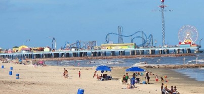
| 22:20, 18 April 2018 | Pier n beach.jpg (file) |  |
23 KB | Tourists lounging on beach, Galveston Acquired from: galvestonislandguide.com/spring-beaches/ | 1 |
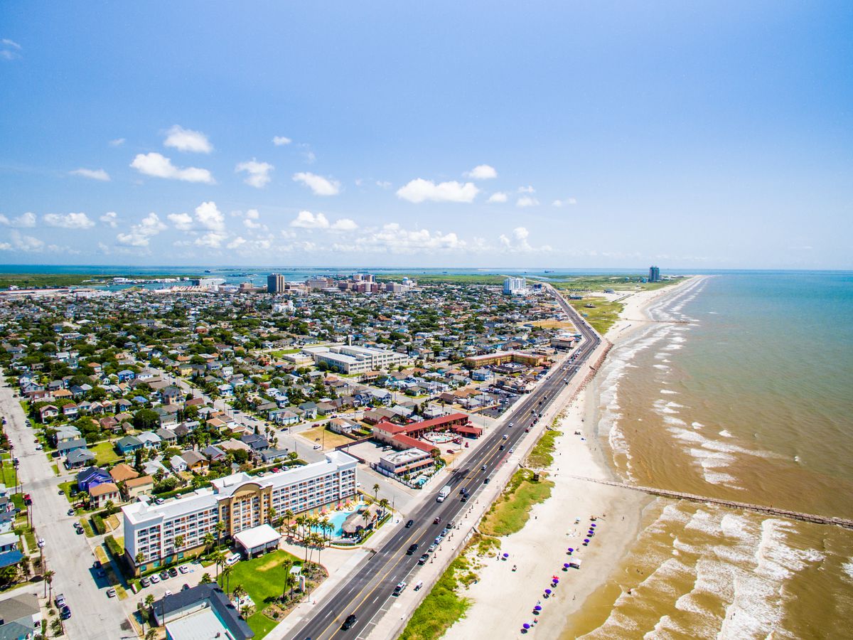
| 22:33, 18 April 2018 | Galveston hwy n coast.jpg (file) |  |
212 KB | Galveston coastline Acquired from: houston.eater.com/maps/galveston-best-restaurants-where-to-eat | 1 |
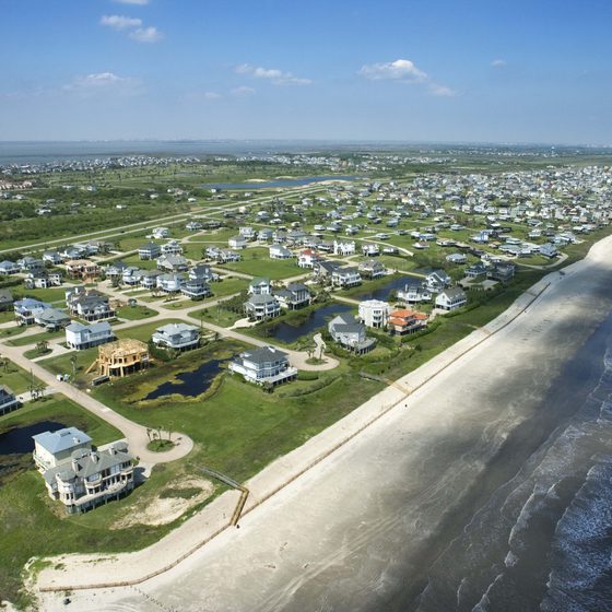
| 22:41, 18 April 2018 | Houses.jpg (file) |  |
69 KB | Galveston has 32 miles of Gulf Mexico houses Acquired from: traveltips.usatoday.com/motels-interstate-45-near-galveston-texas-55477.html | 1 |
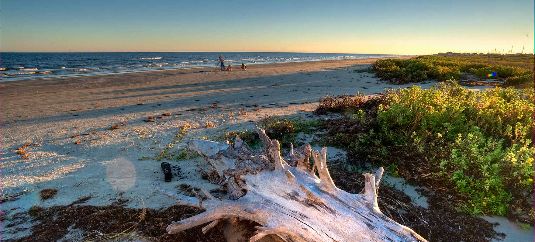
| 22:46, 18 April 2018 | Galveston island.jpg (file) |  |
207 KB | Galveston Island Nature Author: Island Guide Magazine Acquired from: galvestonislandguide.com/outside-at-galveston-island-state-park/ | 1 |
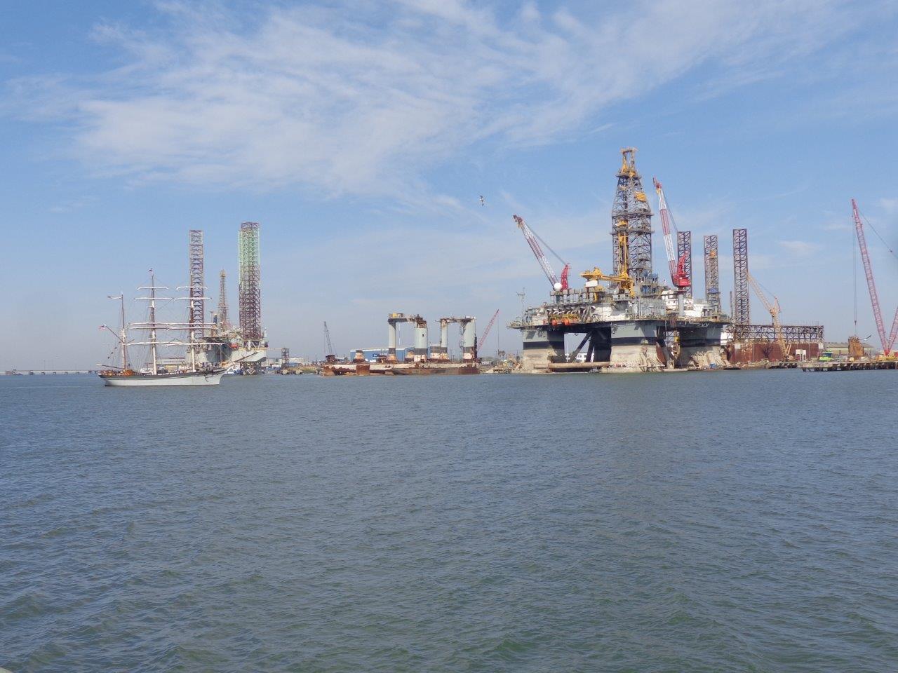
| 22:52, 18 April 2018 | Oil rig.jpg (file) |  |
151 KB | Author: blogger 'Grandma on the Road' Acquired from: grandmajjb.blogspot.com/2014/03/325-galveston-harbor-and-oil-rig-museum.html | 1 |
| 23:14, 18 April 2018 | Green.blue infrastructure.JPG (file) |  |
88 KB | Landscape Features of Regional Significance Acquired from: tcwp.tamu.edu/much-remains-to-be-saved/ | 1 |
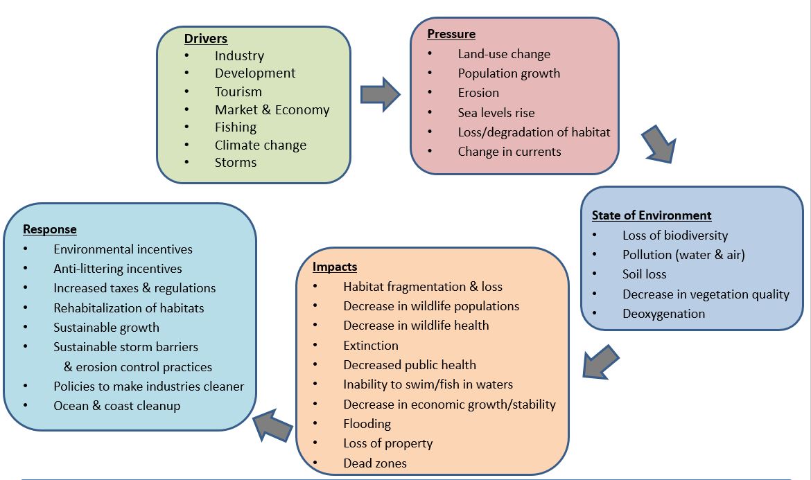
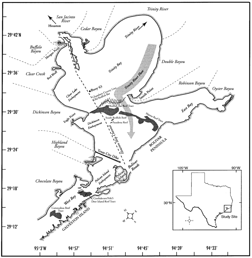
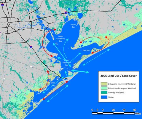
| 23:19, 18 April 2018 | DPSIR galveston bay.JPG (file) |  |
109 KB | Author: Margaret Weber | 1 |
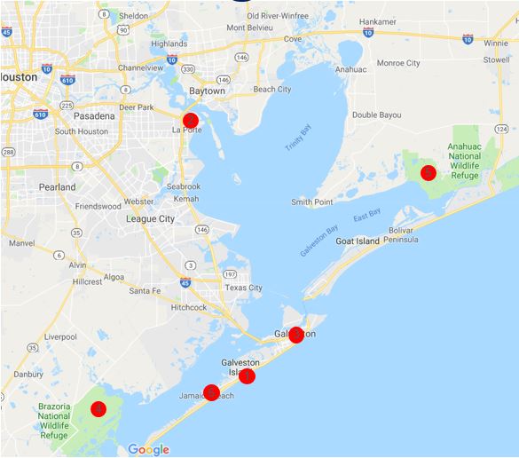
| 23:52, 18 April 2018 | Sacred spaces map.JPG (file) |  |
51 KB | Base from Google Maps Map created by M. Weber | 1 |
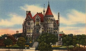
| 00:06, 19 April 2018 | Bishops palace east end district.jpg (file) |  |
18 KB | Bishop's Palace, Galveston, TX postcard circa 1900 Acquired from: https://en.wikipedia.org/wiki/Bishop%27s_Palace,_Galveston | 1 |
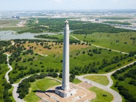
| 00:10, 19 April 2018 | San jacinto battlefield.jpg (file) |  |
22 KB | San Jacinto Battleground State Historic Site, La Porte Acquired from: www.tourtexas.com/destinations/la-porte-things-to-do | 1 |
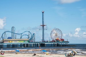
| 00:14, 19 April 2018 | Pleasure pier.jpg (file) |  |
16 KB | Historic Pleasure Pier amusement park and beach, 09.10.2014 Author: D. Lett Acquired from: www.dreamstime.com/editorial-stock-photo-galveston-pleasure-pier-beach-texas-sept-historic-amusement-park-image45248873 | 1 |
| 00:18, 19 April 2018 | Galveston Island State Park.jpeg (file) |  |
61 KB | Acquired from: https://tpwd.texas.gov/state-parks/galveston-island/nature | 1 |
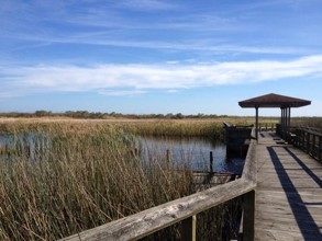
| 00:23, 19 April 2018 | Brazoria National Wildlife Preserve.jpg (file) |  |
21 KB | Brazoria National Wildlife Preserve Author: Sondra G., 2015 Acquired from: www.tripadvisor.com/Attraction_Review-g55865-d7376424-Reviews-Brazoria_National_Wildlife_Refuge-Freeport_Texas.html#photos;geo=55865&detail=7376424&aggregationId=101 | 1 |
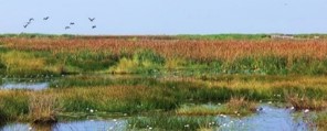
| 00:26, 19 April 2018 | Anahuac National Wildlife Refuge.jpg (file) |  |
13 KB | Anahuac National Wildlife Refuge Acquired from: Chambers Wild | 1 |
| 00:34, 19 April 2018 | Sacred spaces map2.JPG (file) |  |
66 KB | Base by Google Maps Map created by M. Weber | 1 |
| 00:36, 19 April 2018 | Sacred spaces map1.JPG (file) |  |
66 KB | 2 | |
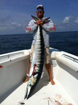
| 00:45, 19 April 2018 | Fisher.JPG (file) |  |
16 KB | Fisher and fish Acquired from: www.fishndivers.com/ | 1 |
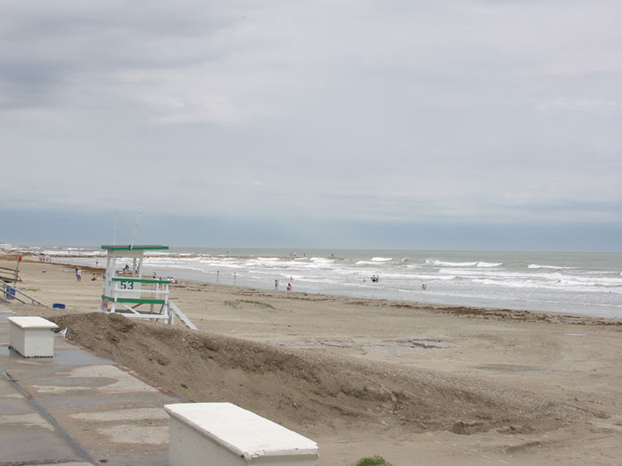
| 00:48, 19 April 2018 | Beach2.jpg (file) |  |
49 KB | Galveston Beach Author: J. Ovalle | 1 |
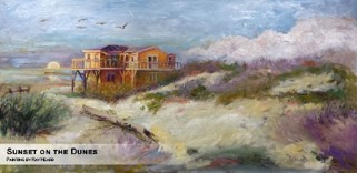
| 00:51, 19 April 2018 | Painting-Sunset on the Dunes .jpg (file) |  |
18 KB | 'Sunset on the Dunes' Author: Ray Heard | 1 |
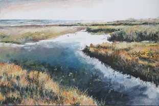
| 00:54, 19 April 2018 | Painting marshland.jpg (file) |  |
24 KB | Painting depicting Rollover Pass in Gilchrist By: Blaze Design | 1 |
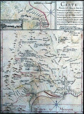
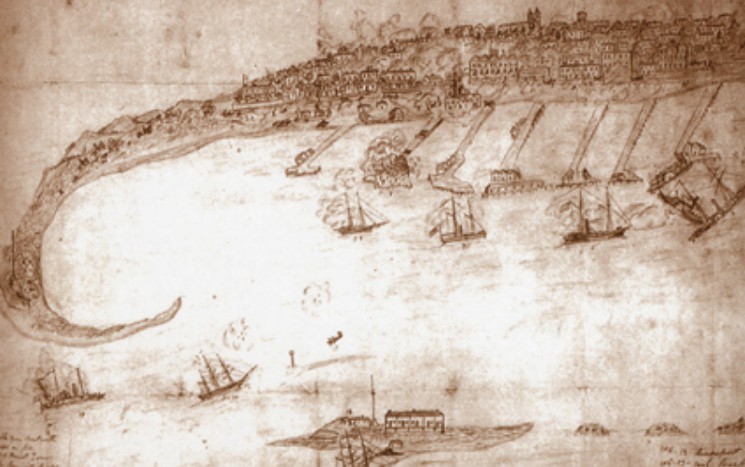
| 00:57, 19 April 2018 | 1st map.jpg (file) |  |
60 KB | 1st known map of area By: Jean-Baptiste Bénard de la Harpe, 1721 | 1 |
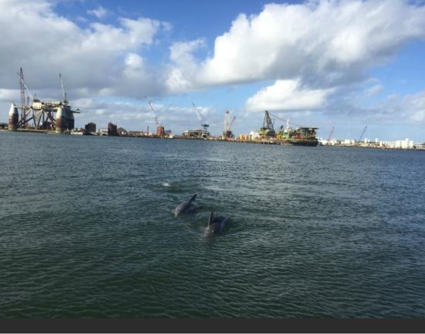
| 01:01, 19 April 2018 | Dolphins and oil rigs.JPG (file) |  |
78 KB | Industrial area shares space with marine animals. Author: Ferdo M. Acquired from: <a href="https://www.tripadvisor.com/LocationPhotoDirectLink-g55879-d7263746-i127098732-Caribbean_Breeze_Boat_Rental_Parasail-Galveston_Galveston_Island_Texas.html#127098... | 1 |
| 01:09, 19 April 2018 | Blue flow.png (file) |  |
304 KB | Authors: Hoffmann et al. 1995, Powell et al. 2003 | 1 |
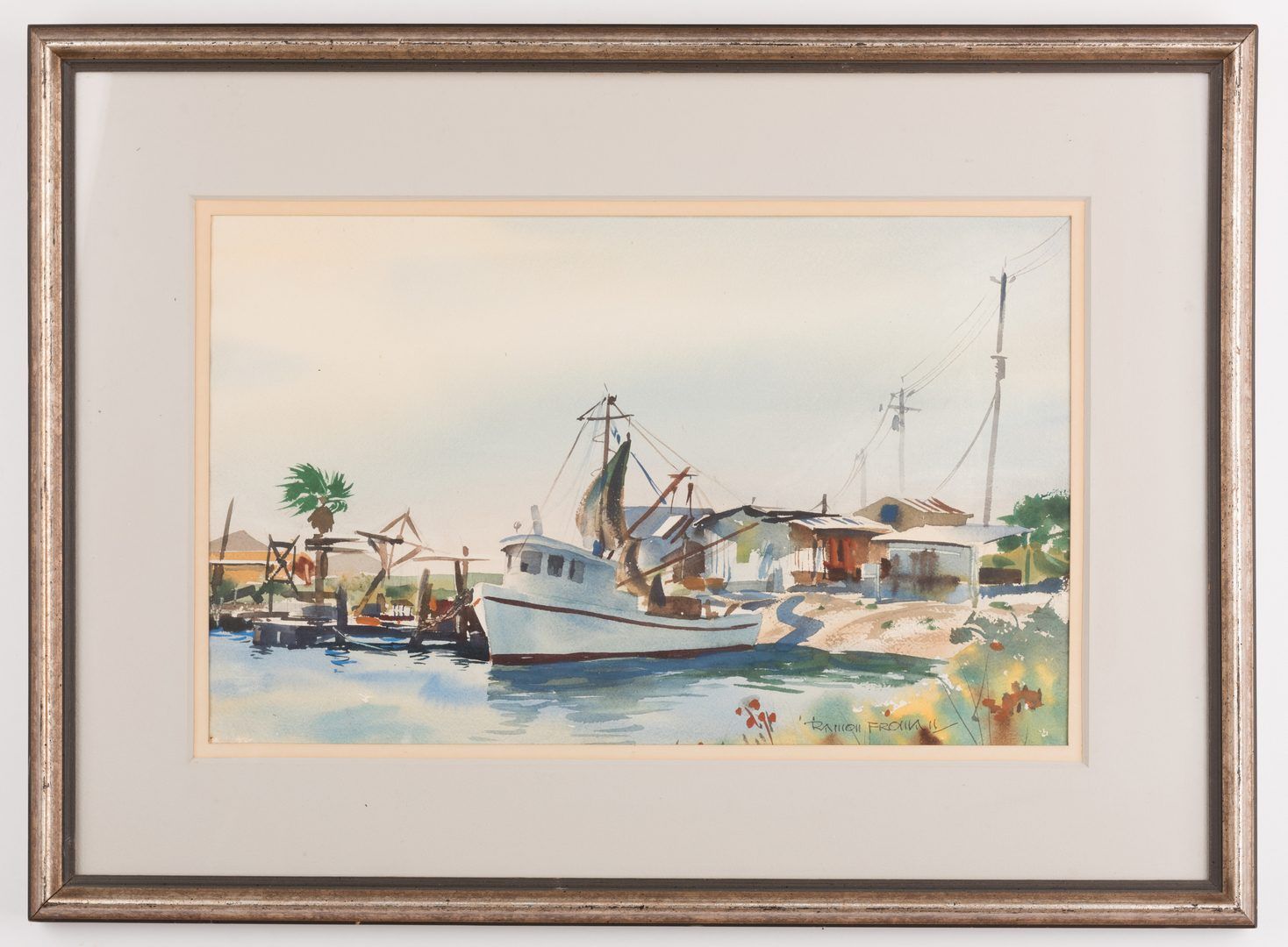
| 01:15, 19 April 2018 | Ramon Froman WC Galveston Bay boat.jpg (file) |  |
167 KB | Galveston Bay Painted by Ramon Froman, mid/late 20th century | 1 |
| 01:19, 19 April 2018 | Battle on the Bay.jpg (file) |  |
82 KB | Battle on the Bay: The Civil War Struggle for Galveston Author: unknown, circa mid/late 19th century | 1 |
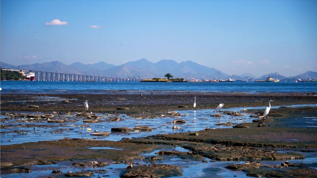
| 02:46, 19 April 2018 | Hypothesis-wasteland.JPG (file) |  |
103 KB | Image of heavily polluted bay in Brazil, Buda Mendes, Getty Image Acquired from: abcnews.go.com/International/photos/heavily-polluted-bay-host-rios-olympic-sailing-24840315/image-24840563 | 1 |
| 18:40, 19 April 2018 | Gb infrastructure.JPG (file) |  |
55 KB | Map created by M. Weber Base map: Source: The National Oceanic and Atmospheric Administration's Coastal Change and Analysis Program | 1 |
| 19:58, 16 May 2018 | Existing land use.jpg (file) |  |
1.33 MB | 1 | |
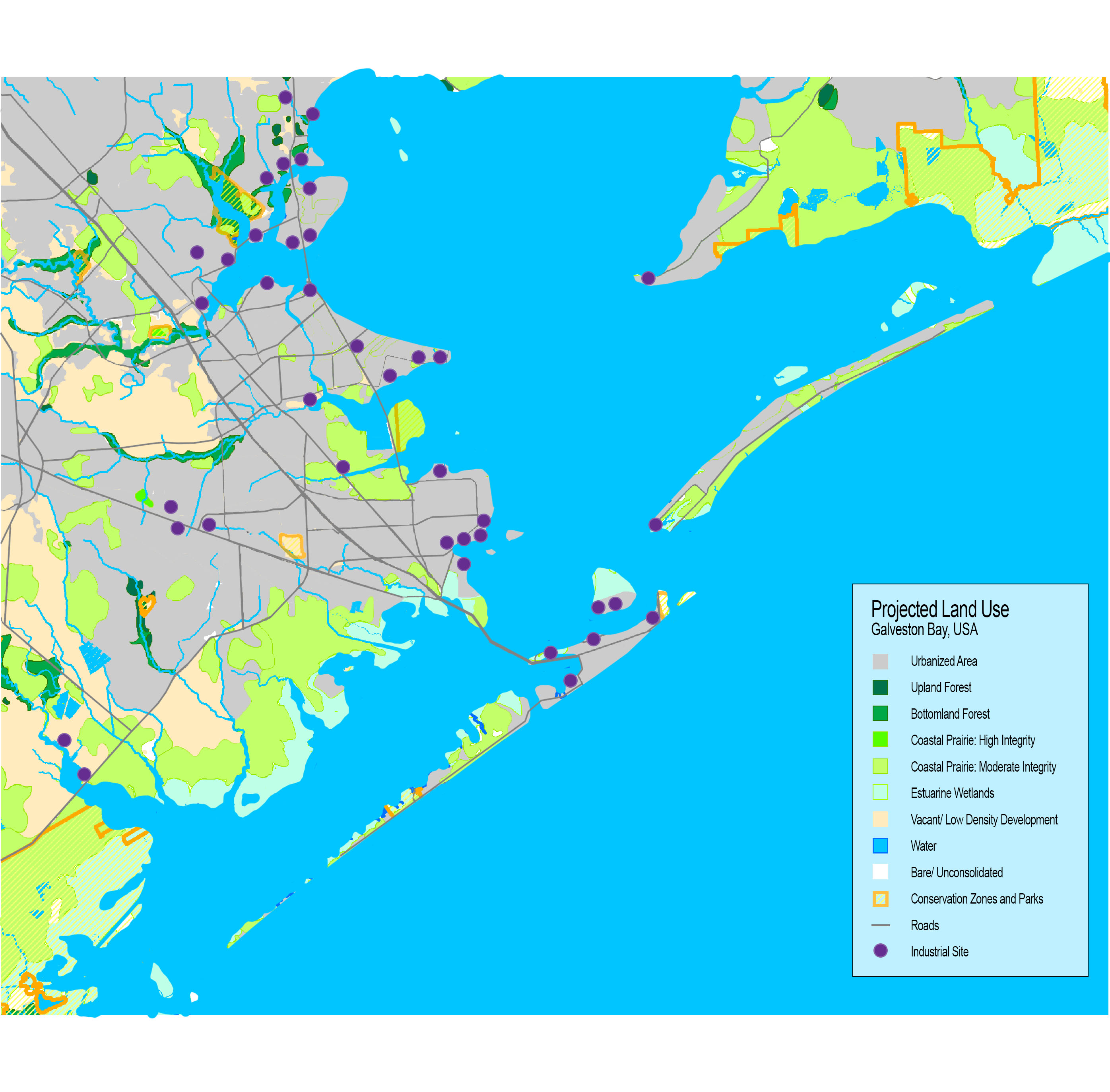
| 20:06, 16 May 2018 | Projected land use.jpg (file) |  |
935 KB | 1 | |
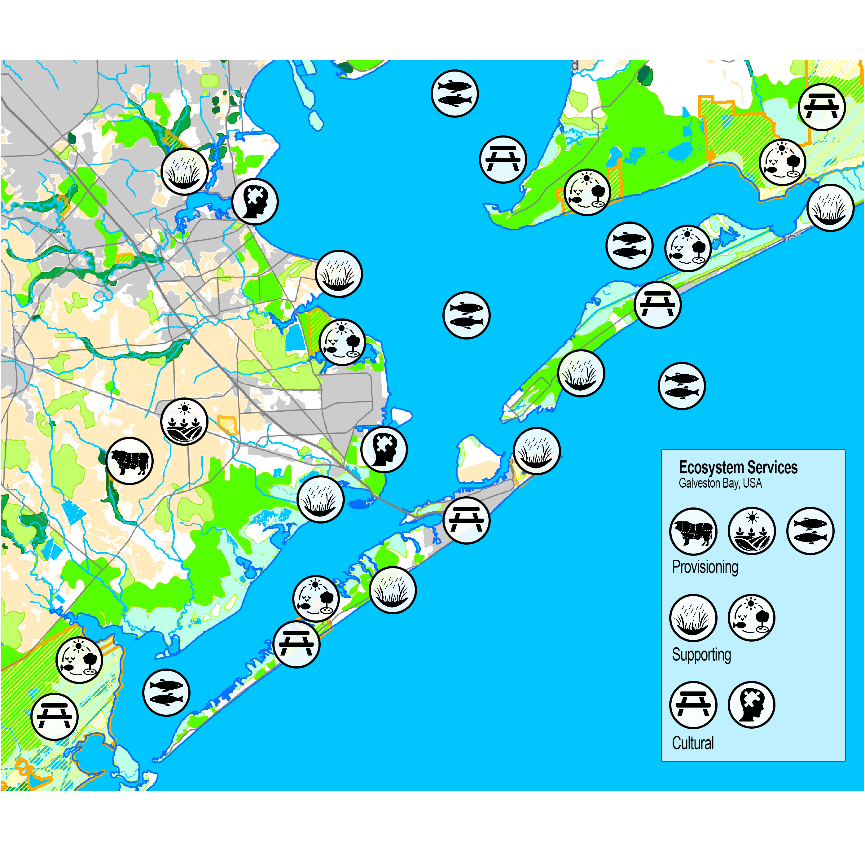
| 20:10, 16 May 2018 | Ecosystem services gb.jpg (file) |  |
1.41 MB | 1 | |
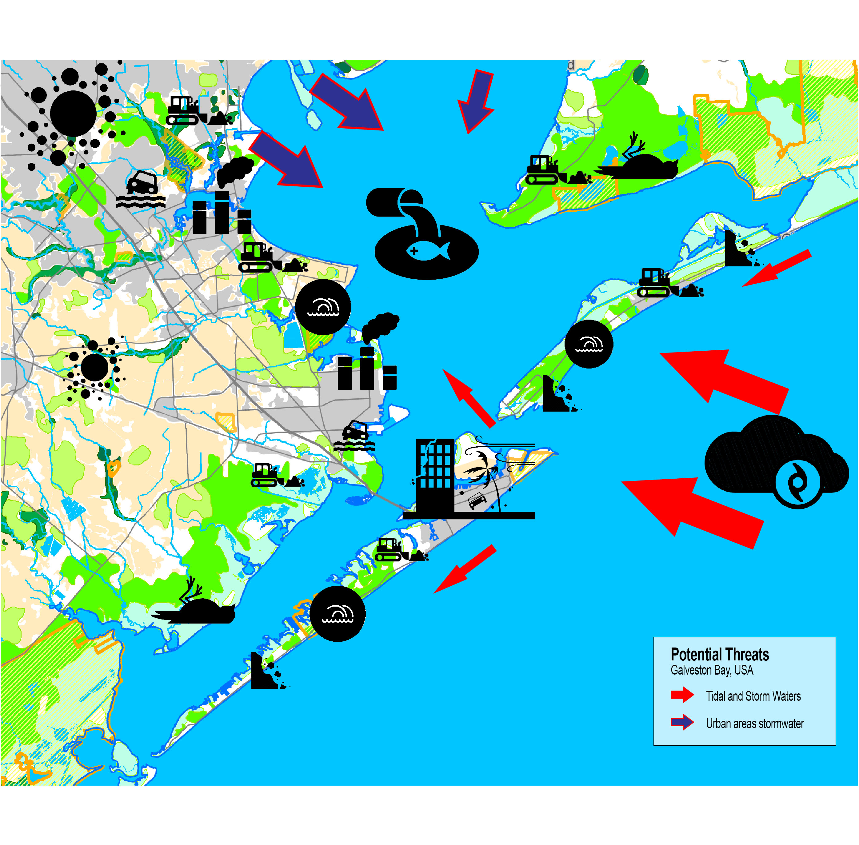
| 21:03, 16 May 2018 | Threats gb.jpg (file) |  |
1.42 MB | 1 | |
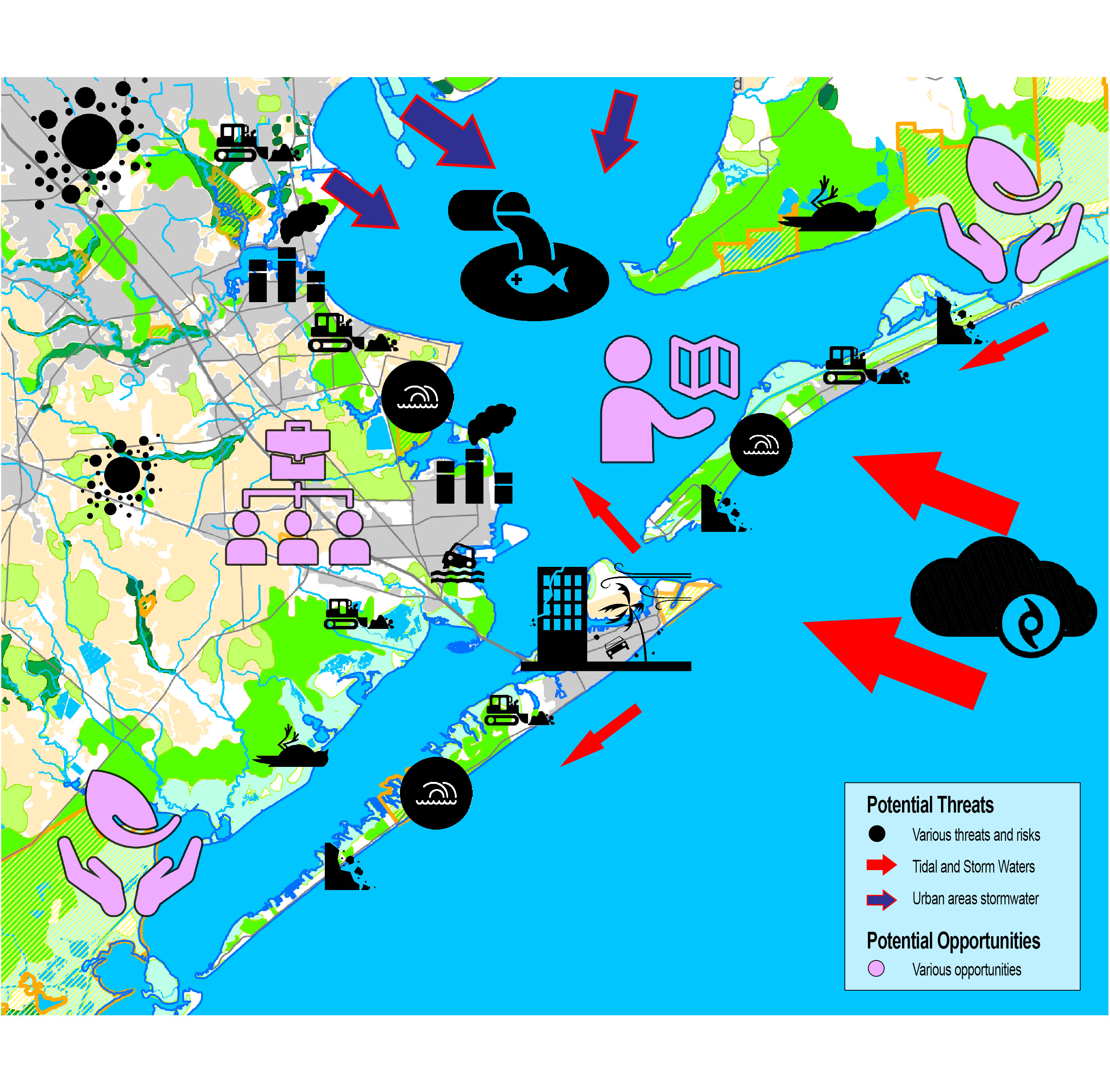
| 21:52, 16 May 2018 | Threats-opportunities.jpg (file) |  |
1.43 MB | 1 | |
| 00:11, 17 May 2018 | Priorities and targets.JPG (file) |  |
75 KB | 1 | |
| 22:46, 14 June 2018 | Vision weber.jpg (file) |  |
211 KB | 1 | |
| 22:47, 14 June 2018 | Galveston trancept-acupuncture.jpg (file) |  |
349 KB | 1 | |
| 22:50, 14 June 2018 | Focus area.jpg (file) |  |
80 KB | 1 | |
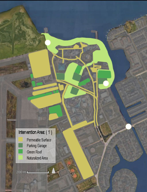
| 22:52, 14 June 2018 | Intervention1.0.jpg (file) |  |
96 KB | 1 | |
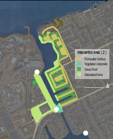
| 22:53, 14 June 2018 | Intervention2.0.jpg (file) |  |
82 KB | 1 | |
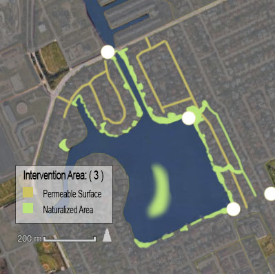
| 22:54, 14 June 2018 | Intervention3.0.jpg (file) |  |
65 KB | 1 | |
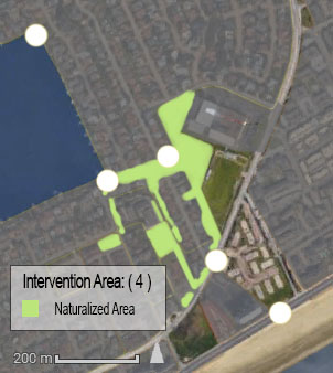
| 22:55, 14 June 2018 | Intervention4.0.jpg (file) |  |
50 KB | 1 | |
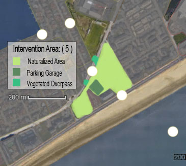
| 22:56, 14 June 2018 | Intervention5.0.jpg (file) |  |
51 KB | 1 |