File list
Jump to navigation
Jump to search
This special page shows all uploaded files.
| Date | Name | Thumbnail | Size | User | Description | Versions |
|---|---|---|---|---|---|---|
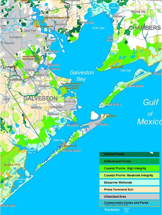
| 23:14, 18 April 2018 | Green.blue infrastructure.JPG (file) |  |
88 KB | Maggiew (talk | contribs) | Landscape Features of Regional Significance Acquired from: tcwp.tamu.edu/much-remains-to-be-saved/ | 1 |
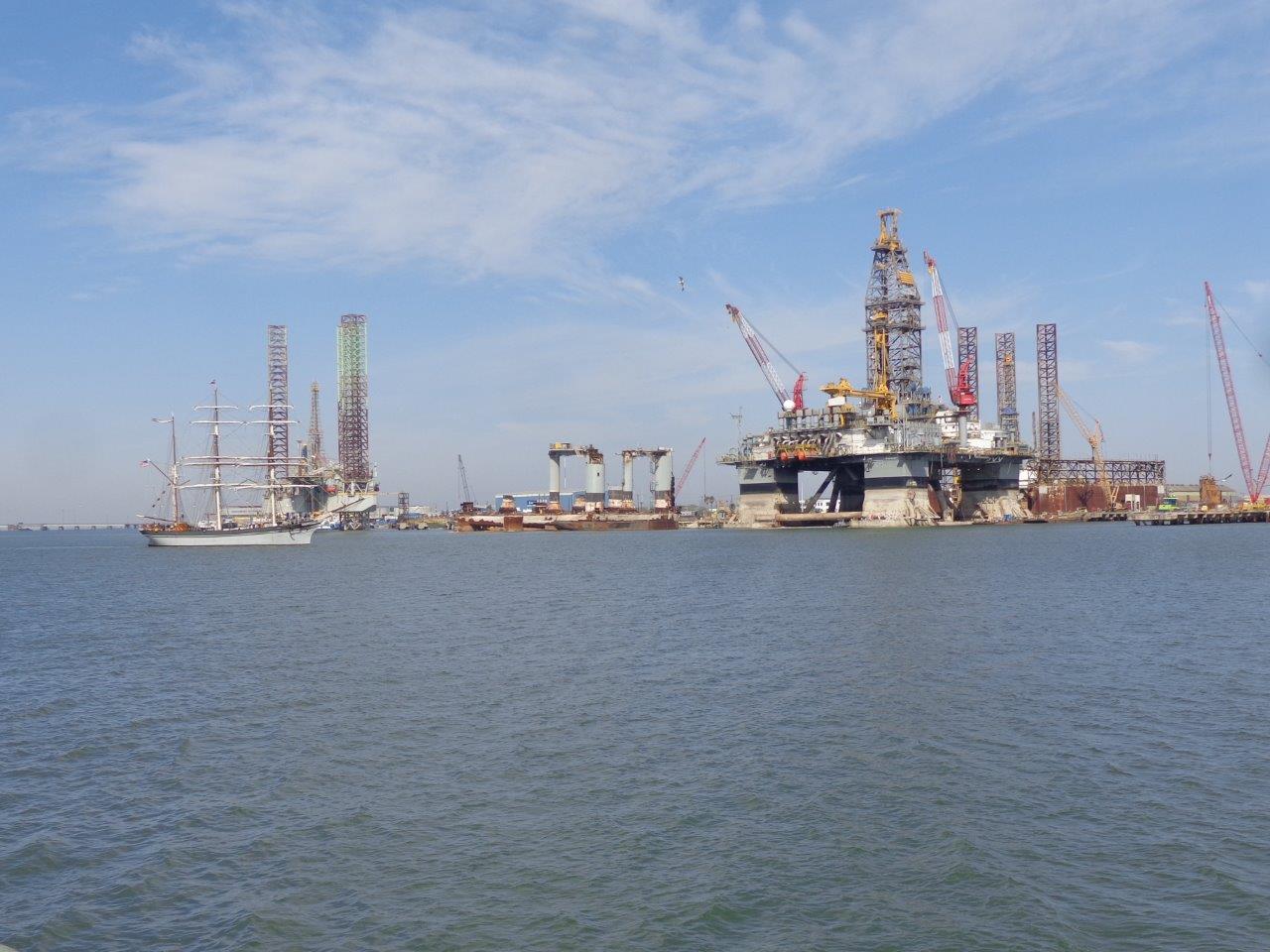
| 22:52, 18 April 2018 | Oil rig.jpg (file) |  |
151 KB | Maggiew (talk | contribs) | Author: blogger 'Grandma on the Road' Acquired from: grandmajjb.blogspot.com/2014/03/325-galveston-harbor-and-oil-rig-museum.html | 1 |
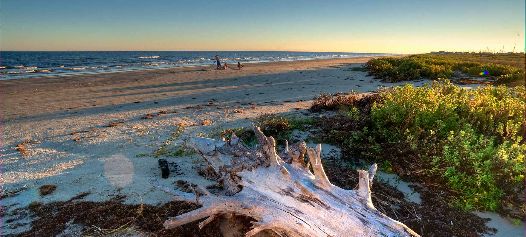
| 22:46, 18 April 2018 | Galveston island.jpg (file) |  |
207 KB | Maggiew (talk | contribs) | Galveston Island Nature Author: Island Guide Magazine Acquired from: galvestonislandguide.com/outside-at-galveston-island-state-park/ | 1 |
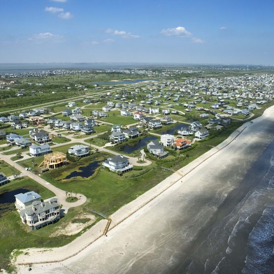
| 22:41, 18 April 2018 | Houses.jpg (file) |  |
69 KB | Maggiew (talk | contribs) | Galveston has 32 miles of Gulf Mexico houses Acquired from: traveltips.usatoday.com/motels-interstate-45-near-galveston-texas-55477.html | 1 |
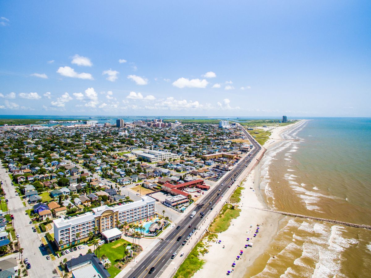
| 22:33, 18 April 2018 | Galveston hwy n coast.jpg (file) |  |
212 KB | Maggiew (talk | contribs) | Galveston coastline Acquired from: houston.eater.com/maps/galveston-best-restaurants-where-to-eat | 1 |
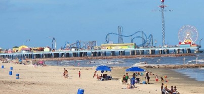
| 22:20, 18 April 2018 | Pier n beach.jpg (file) |  |
23 KB | Maggiew (talk | contribs) | Tourists lounging on beach, Galveston Acquired from: galvestonislandguide.com/spring-beaches/ | 1 |
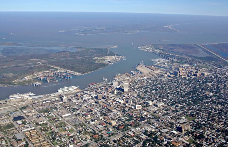
| 22:11, 18 April 2018 | Galveston port & barrier island.jpg (file) |  |
127 KB | Maggiew (talk | contribs) | Galveston port & Barrier island Acquired from: marinas.com/view/harbor/p3teel_Galveston_Bay_Galveston_TX_United_States | 1 |
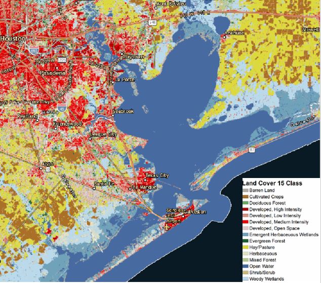
| 21:59, 18 April 2018 | Land use 2017.JPG (file) |  |
108 KB | Maggiew (talk | contribs) | Land use: H-GAC’s interactive map Acquired from: h-gac.com/community/socioeconomic/land-use-data/default.aspx | 1 |
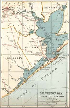
| 21:53, 18 April 2018 | Galveston Bay Map c. 1900.jpg (file) |  |
24 KB | Maggiew (talk | contribs) | Map of Galveston Bay, Houston, and vicinity (c. 1900), from the 10th edition of Encyclopædia Britannica. Encyclopædia Britannica, Inc Acquired from: www.britannica.com/place/Galveston-Bay | 1 |
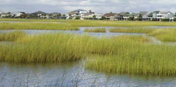
| 21:45, 18 April 2018 | Marshlands & houses.png (file) |  |
182 KB | Maggiew (talk | contribs) | HARC. Photo copyright istockphoto.com Acquired from: www.harcresearch.org/work/Galveston_Bay_Status_and_Trends | 1 |
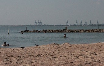
| 21:43, 18 April 2018 | La Porte Beach.jpg (file) |  |
21 KB | Maggiew (talk | contribs) | Swimmers at Sylvan Beach on Galveston Bay in La Porte Author: Dave Fehling, Houston Public Media Acquired from: www.houstonpublicmedia.org/articles/news/2015/08/12/120900/galveston-bay-oysters-under-assault-gets-bad-grade-for-pollution/ | 1 |
| 21:36, 18 April 2018 | Algarve PowerMap.jpg (file) |  |
205 KB | Tatianan (talk | contribs) | 1 | |
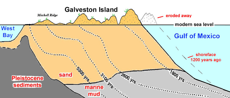
| 21:35, 18 April 2018 | Barrier Island.jpg (file) |  |
87 KB | Maggiew (talk | contribs) | Schematic cross-section showing the evolution of Galveston Island. Based on Rodriquez et al. 2004 and Fisk et al. 1972. Acquired from: www.texasbeyondhistory.net/mitchell/setting.html | 1 |
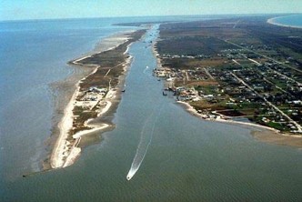
| 21:12, 18 April 2018 | Galveston Island boat exit weber.jpg (file) |  |
23 KB | Maggiew (talk | contribs) | Boat entering Galveston Bay from West Bay Acquired from: www.airphotona.com/previmg.asp?imageid=12537 | 1 |
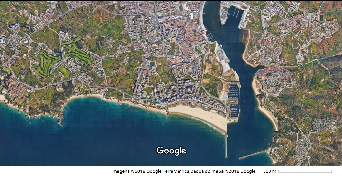
| 21:12, 18 April 2018 | Algarve Google Maps.jpg (file) |  |
954 KB | Tatianan (talk | contribs) | Font: Google Mpas | 1 |
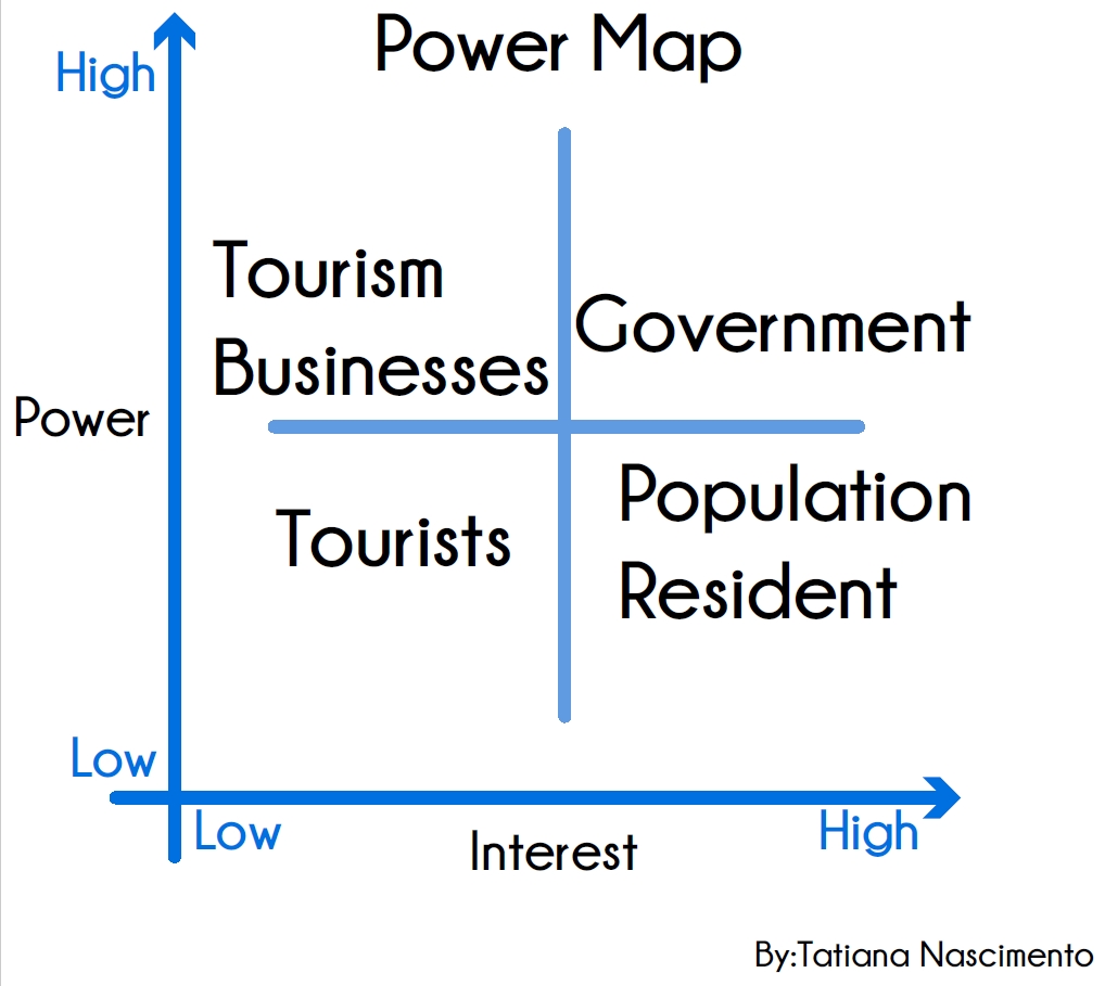
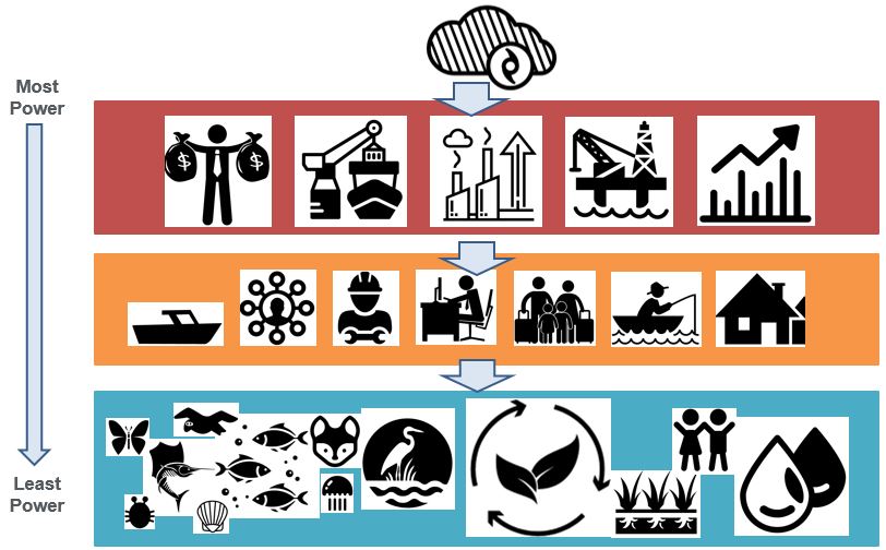
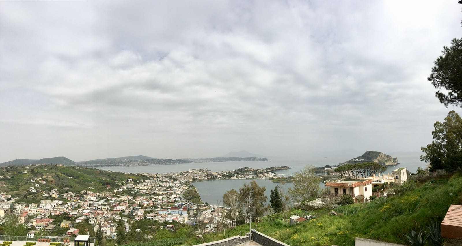
| 21:04, 18 April 2018 | Power Map GalvestonBay weber.JPG (file) |  |
86 KB | Maggiew (talk | contribs) | Power Map | 1 |
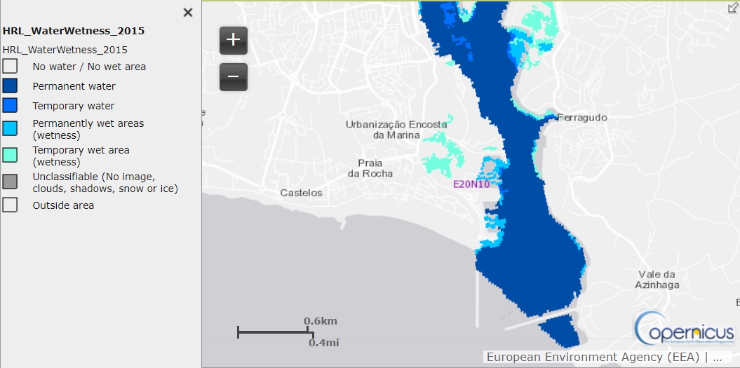
| 21:04, 18 April 2018 | Algarve Water & Wetness Status Maps 2015.jpg (file) |  |
208 KB | Tatianan (talk | contribs) | https://land.copernicus.eu/pan-european/high-resolution-layers/water-wetness/status-maps/2015/view | 1 |
| 20:51, 18 April 2018 | Presentation11024px-Bolvare Bandar-e Anzali.jpg (file) |  |
156 KB | Amirhosseinm (talk | contribs) | 1 | |
| 20:48, 18 April 2018 | 1024px-Bolvare Bandar-e Anzali.jpg (file) |  |
125 KB | Amirhosseinm (talk | contribs) | 1 | |
| 20:46, 18 April 2018 | GREEN-BLUE-INFR.jpg (file) |  |
1.05 MB | Rajendrab (talk | contribs) | 1 | |
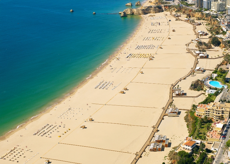
| 20:40, 18 April 2018 | Rocha-5621P.jpg (file) |  |
370 KB | Tatianan (talk | contribs) | unknown author, in http://blog.turismodoalgarve.pt/2012/08/praia-da-rocha-entre-as-10-praias-de.html at 22:40H 18/04/2018 | 1 |
| 20:38, 18 April 2018 | Photo 2018-04-18 22-24-29.jpg (file) |  |
121 KB | Amirhosseinm (talk | contribs) | 1 | |
| 20:37, 18 April 2018 | WhatsApp Image 2018-04-18 at 22.34.50.jpeg (file) |  |
175 KB | Vivianav (talk | contribs) | 1 | |
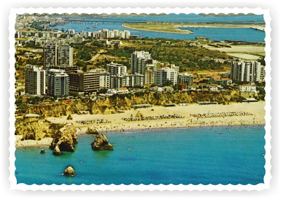
| 20:37, 18 April 2018 | Algarve beach 1970.jpg (file) |  |
56 KB | Tatianan (talk | contribs) | unknown author, in http://blog.turismodoalgarve.pt/2012/08/bilhete-postal-praia-da-rocha.html at 22:36h 18/04/2018 | 1 |
| 20:36, 18 April 2018 | AC-anzali-Menareh-mani-golnazi.jpg (file) |  |
72 KB | Amirhosseinm (talk | contribs) | 1 | |
| 20:34, 18 April 2018 | Anzali.jpg (file) |  |
214 KB | Amirhosseinm (talk | contribs) | 2 | |
| 20:32, 18 April 2018 | Boolvar-anzali-1350-gajamoo.jpg (file) |  |
59 KB | Amirhosseinm (talk | contribs) | 1 | |
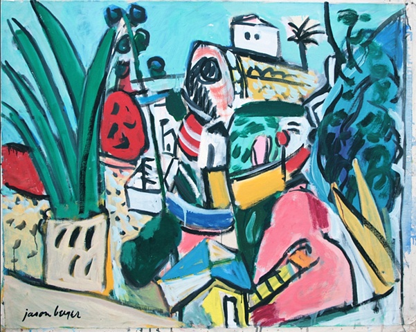
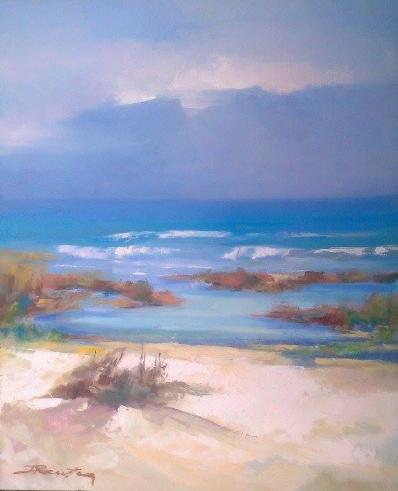
| 20:31, 18 April 2018 | Algarve Paiting 2.jpg (file) |  |
167 KB | Tatianan (talk | contribs) | Painter: Jason Berger in http://jasonbergerpainter.com/section/465330-Portugal.html at 22:31h 18/04/2018 | 1 |
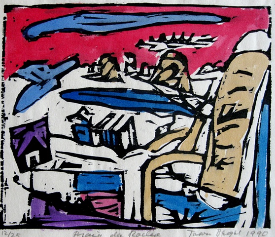
| 20:30, 18 April 2018 | Algarve Paiting 1.jpg (file) |  |
167 KB | Tatianan (talk | contribs) | Paiter: Jason Berger in http://jasonbergerpainter.com/section/465330-Portugal.html 22:29h 18/04/2018 | 1 |
| 20:19, 18 April 2018 | Nile delta Hypothesis.jpg (file) |  |
1.09 MB | Ahmedk (talk | contribs) | edited by the author | 1 |
| 20:06, 18 April 2018 | Montaza park.jpg (file) |  |
75 KB | Ahmedk (talk | contribs) | 1 | |
| 20:00, 18 April 2018 | Suez canal adminstration building.jpeg (file) |  |
20 KB | Ahmedk (talk | contribs) | 1 | |
| 20:00, 18 April 2018 | Hipoteses.jpg (file) |  |
118 KB | Juliettem (talk | contribs) | 1 | |
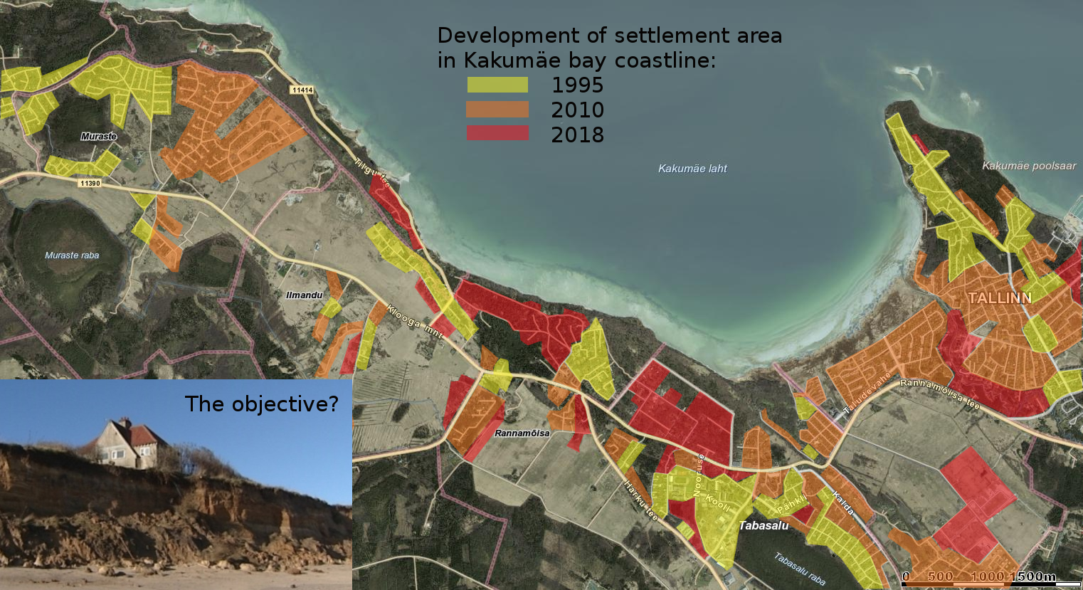
| 19:49, 18 April 2018 | Hypothesis visual. Changes from 1995 to 2018.png (file) |  |
1.76 MB | Jannes (talk | contribs) | 1 | |
| 19:47, 18 April 2018 | Stanley bridge.jpg (file) |  |
272 KB | Ahmedk (talk | contribs) | 1 | |
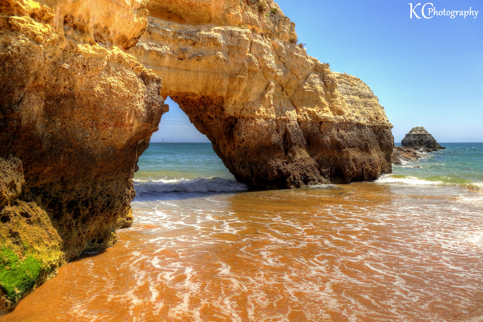
| 19:41, 18 April 2018 | Algarve Praia da Rocha.jpg (file) |  |
1.29 MB | Tatianan (talk | contribs) | Foto by: AreKev in thousandwonders.net at 21.40H 18/04/2018 | 1 |
| 19:29, 18 April 2018 | Nile delta Power map.jpg (file) |  |
198 KB | Ahmedk (talk | contribs) | 1 | |
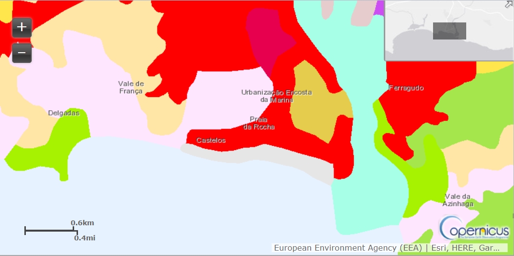
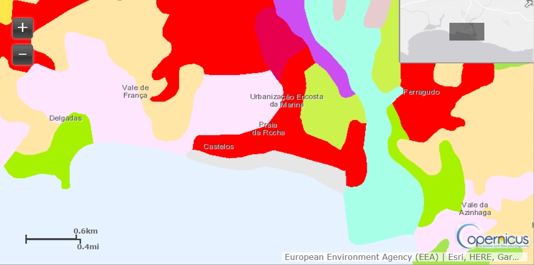
| 19:10, 18 April 2018 | Algarve Land Use 2012.jpg (file) |  |
156 KB | Tatianan (talk | contribs) | 1 | |
| 19:09, 18 April 2018 | Algarve Land Use 2000.jpg (file) |  |
155 KB | Tatianan (talk | contribs) | 1 | |
| 19:06, 18 April 2018 | Land Use 2012 Legende 0.jpg (file) |  |
303 KB | Tatianan (talk | contribs) | 1 | |
| 18:59, 18 April 2018 | Landuse NJ-Recuperado.jpg (file) |  |
739 KB | Rajendrab (talk | contribs) | 1 | |
| 18:46, 18 April 2018 | Algarve Land Use 1990.jpg (file) |  |
157 KB | Tatianan (talk | contribs) | 1 | |
| 18:02, 18 April 2018 | LandUse map.PNG (file) |  |
1.62 MB | Juliettem (talk | contribs) | 1 | |
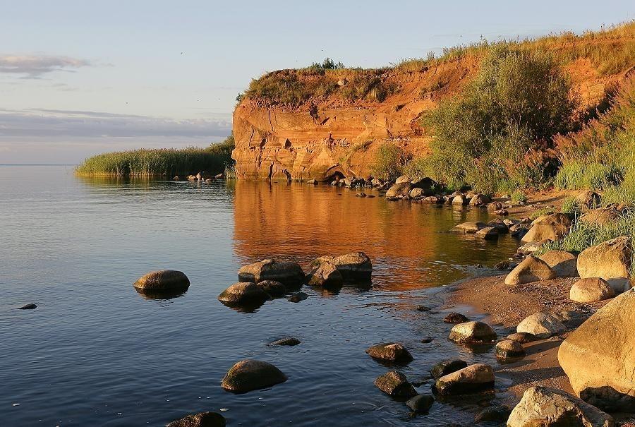
| 18:01, 18 April 2018 | Kallaste outcrop.jpeg (file) |  |
132 KB | Juliettem (talk | contribs) | 1 | |
| 17:49, 18 April 2018 | Kallaste vanausulised Eglise.jpg (file) |  |
173 KB | Juliettem (talk | contribs) | 1 | |
| 17:47, 18 April 2018 | Kallaste points d'interet.PNG (file) |  |
1.93 MB | Juliettem (talk | contribs) | 1 | |
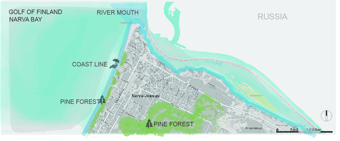
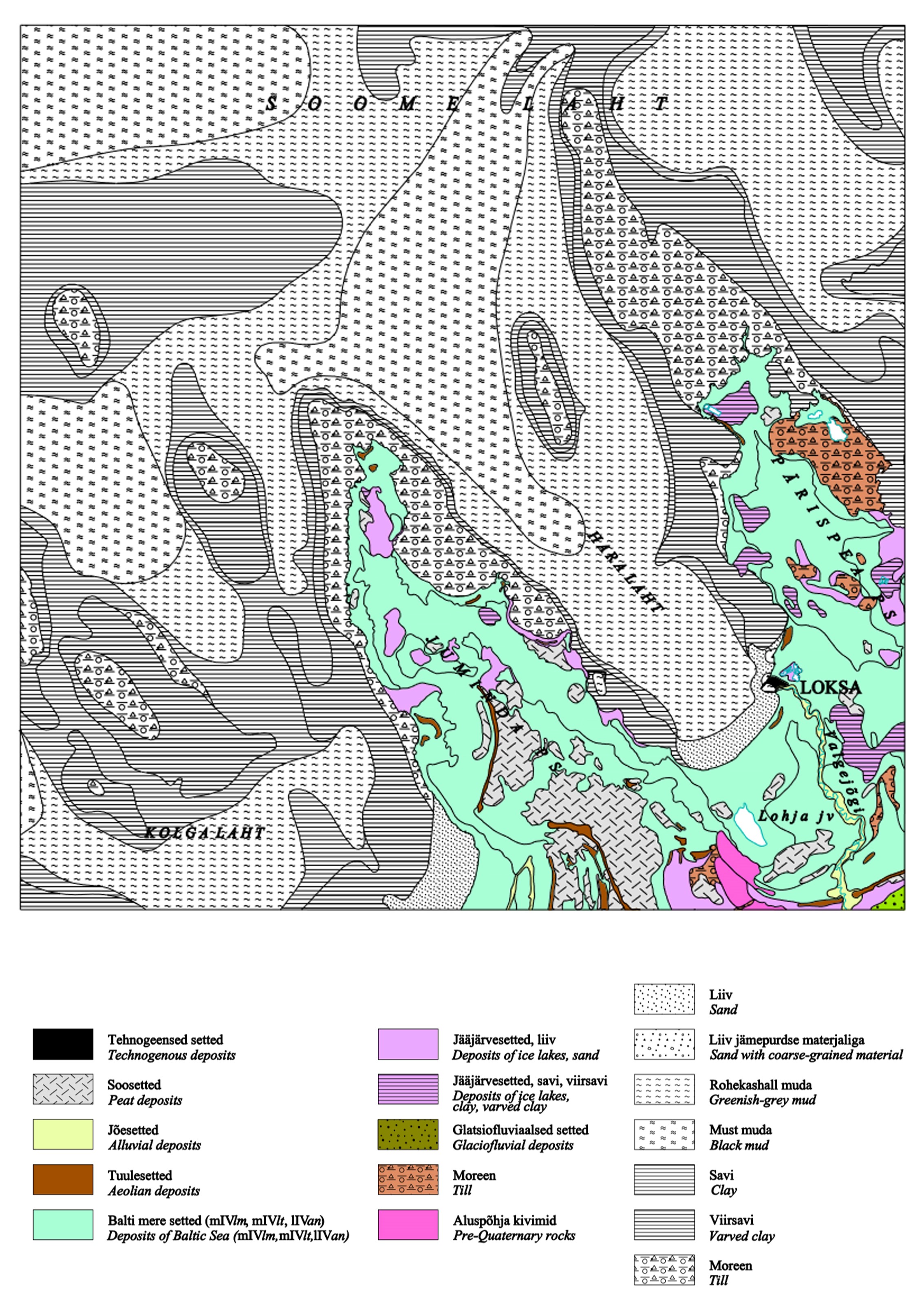
| 17:43, 18 April 2018 | LahemaaGeomorphology.jpg (file) |  |
1.56 MB | Shimay (talk | contribs) | lahemaa geomorphology | 1 |
| 17:34, 18 April 2018 | Summary.jpg (file) |  |
102 KB | Juliettem (talk | contribs) | 1 | |
| 17:27, 18 April 2018 | 30704438 1775068159180438 6354239260702277632 n.jpg (file) |  |
28 KB | Shimay (talk | contribs) | power map | 1 |
| 16:31, 18 April 2018 | Picture2.jpg (file) |  |
39 KB | Monicai (talk | contribs) | 1 |