File list
Jump to navigation
Jump to search
This special page shows all uploaded files.
| Date | Name | Thumbnail | Size | User | Description | Versions |
|---|---|---|---|---|---|---|
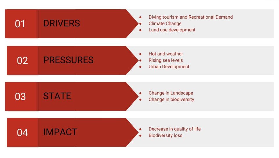
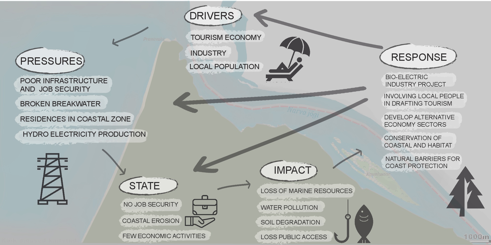
| 20:08, 19 April 2018 | Nile delta Dpsir.jpg (file) |  |
267 KB | Ahmedk (talk | contribs) | 1 | |
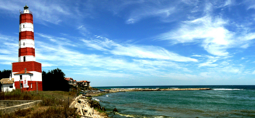
| 20:08, 19 April 2018 | 05 shabla lighthouse.jpg (file) |  |
390 KB | Ioneliat (talk | contribs) | http://shabla.be/en/ | 1 |
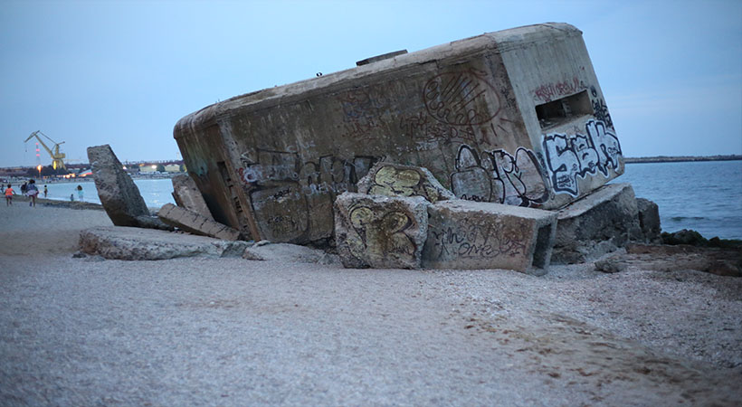
| 20:07, 19 April 2018 | 04 plaja2mai cazemata 820x450.jpg (file) |  |
113 KB | Ioneliat (talk | contribs) | http://www.vila2mai.ro/distractii-in-2-mai/plaja-2-mai/ | 1 |
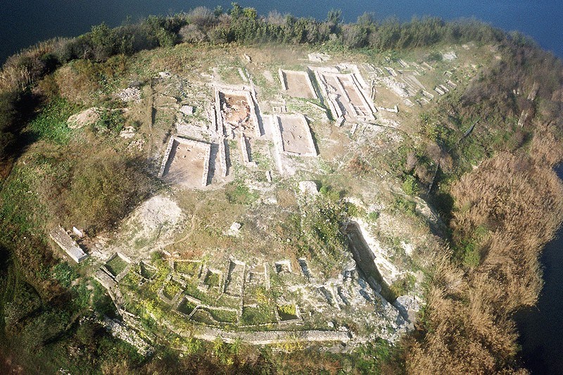
| 20:05, 19 April 2018 | 02 durankulak-lake-big-island-settlement.jpg (file) |  |
204 KB | Ioneliat (talk | contribs) | Photo: Dobrich Regional Museum of History | 2 |
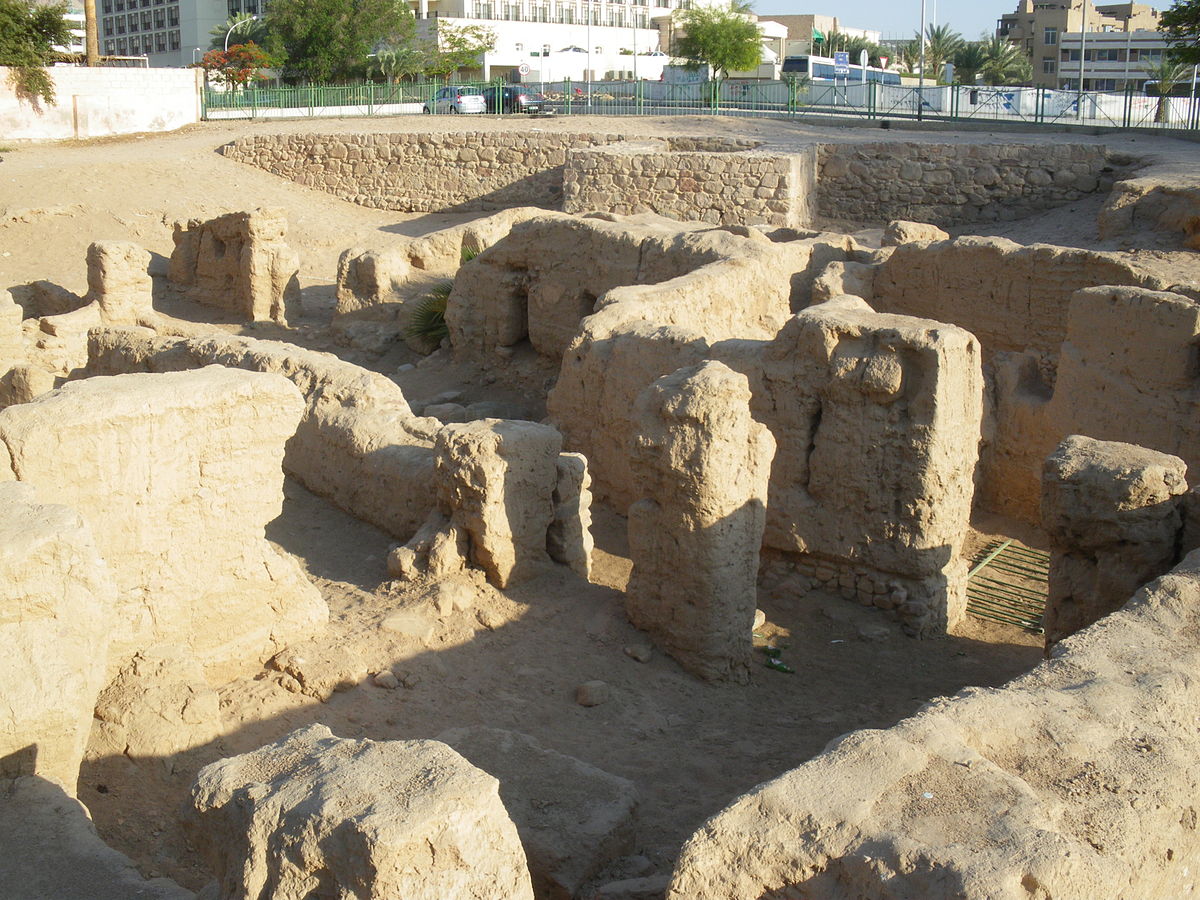
| 20:02, 19 April 2018 | Aqaba3.jpg (file) |  |
423 KB | Nawwars (talk | contribs) | 1 | |
| 20:02, 19 April 2018 | Montaza 3.jpg (file) |  |
70 KB | Ahmedk (talk | contribs) | 1 | |
| 19:59, 19 April 2018 | Padu.jpg (file) |  |
58 KB | Monicai (talk | contribs) | 1 | |
| 19:55, 19 April 2018 | Dev4-min (1).jpg (file) | .jpg) |
509 KB | Nawwars (talk | contribs) | 1 | |
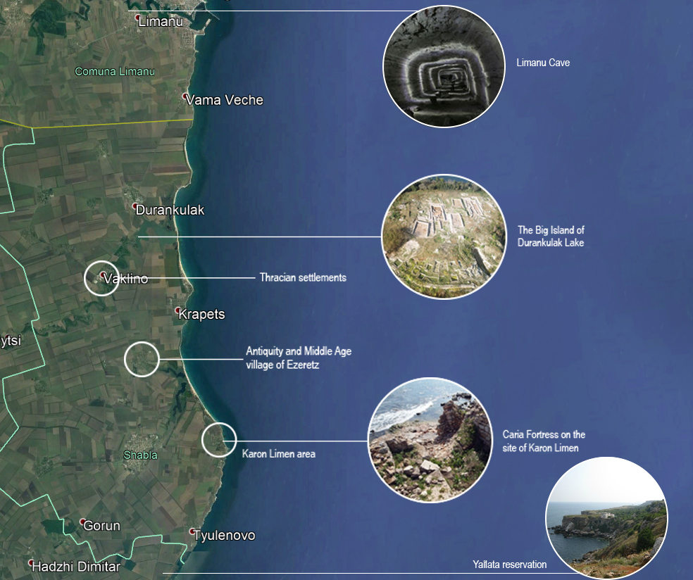
| 19:54, 19 April 2018 | 01 hisotric heritage map.jpg (file) |  |
492 KB | Ioneliat (talk | contribs) | 1 | |
| 19:54, 19 April 2018 | Montaza 2.jpg (file) |  |
32 KB | Ahmedk (talk | contribs) | 1 | |
| 19:53, 19 April 2018 | Sacalu.jpg (file) |  |
12 KB | Monicai (talk | contribs) | 1 | |
| 19:52, 19 April 2018 | Iarba.jpg (file) |  |
48 KB | Monicai (talk | contribs) | 1 | |
| 19:52, 19 April 2018 | Drum.jpg (file) |  |
53 KB | Monicai (talk | contribs) | 1 | |
| 19:51, 19 April 2018 | Pasari.jpg (file) |  |
45 KB | Monicai (talk | contribs) | 1 | |
| 19:50, 19 April 2018 | Dev.jpg (file) |  |
423 KB | Nawwars (talk | contribs) | 1 | |
| 19:49, 19 April 2018 | Hypotesis.jpg (file) |  |
94 KB | Antoniap (talk | contribs) | 1 | |
| 19:46, 19 April 2018 | Dev4-min.jpg (file) |  |
509 KB | Nawwars (talk | contribs) | 1 | |
| 19:44, 19 April 2018 | Dev3-min.jpg (file) |  |
423 KB | Nawwars (talk | contribs) | 2 | |
| 19:43, 19 April 2018 | DPSI(R).jpg (file) | .jpg) |
86 KB | Reemh (talk | contribs) | 1 | |
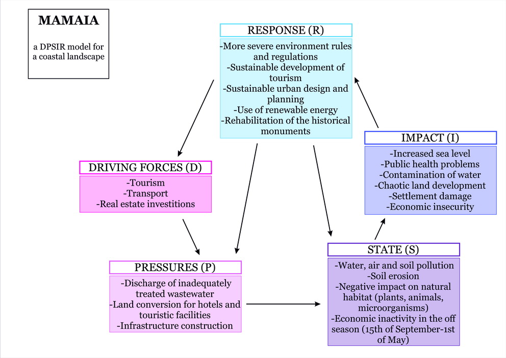
| 19:42, 19 April 2018 | DPSIR mamaia resize.jpg (file) |  |
1.9 MB | Antoniap (talk | contribs) | 1 | |
| 19:42, 19 April 2018 | Dev2-min.jpg (file) |  |
223 KB | Nawwars (talk | contribs) | 1 | |
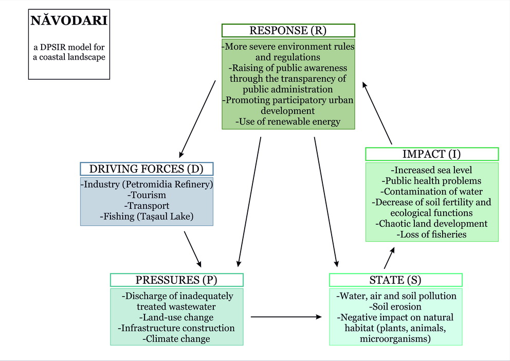
| 19:40, 19 April 2018 | DPSIR navodari resize.jpg (file) |  |
1.9 MB | Antoniap (talk | contribs) | 1 | |
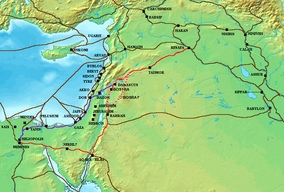
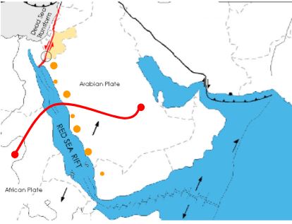
| 19:34, 19 April 2018 | Ancient Levant routes.png (file) |  |
290 KB | Reemh (talk | contribs) | 1 | |
| 19:34, 19 April 2018 | Example1.jpg (file) |  |
296 KB | Monicai (talk | contribs) | 1 | |
| 19:33, 19 April 2018 | Var 2.jpg (file) |  |
1,001 KB | Monicai (talk | contribs) | 1 | |
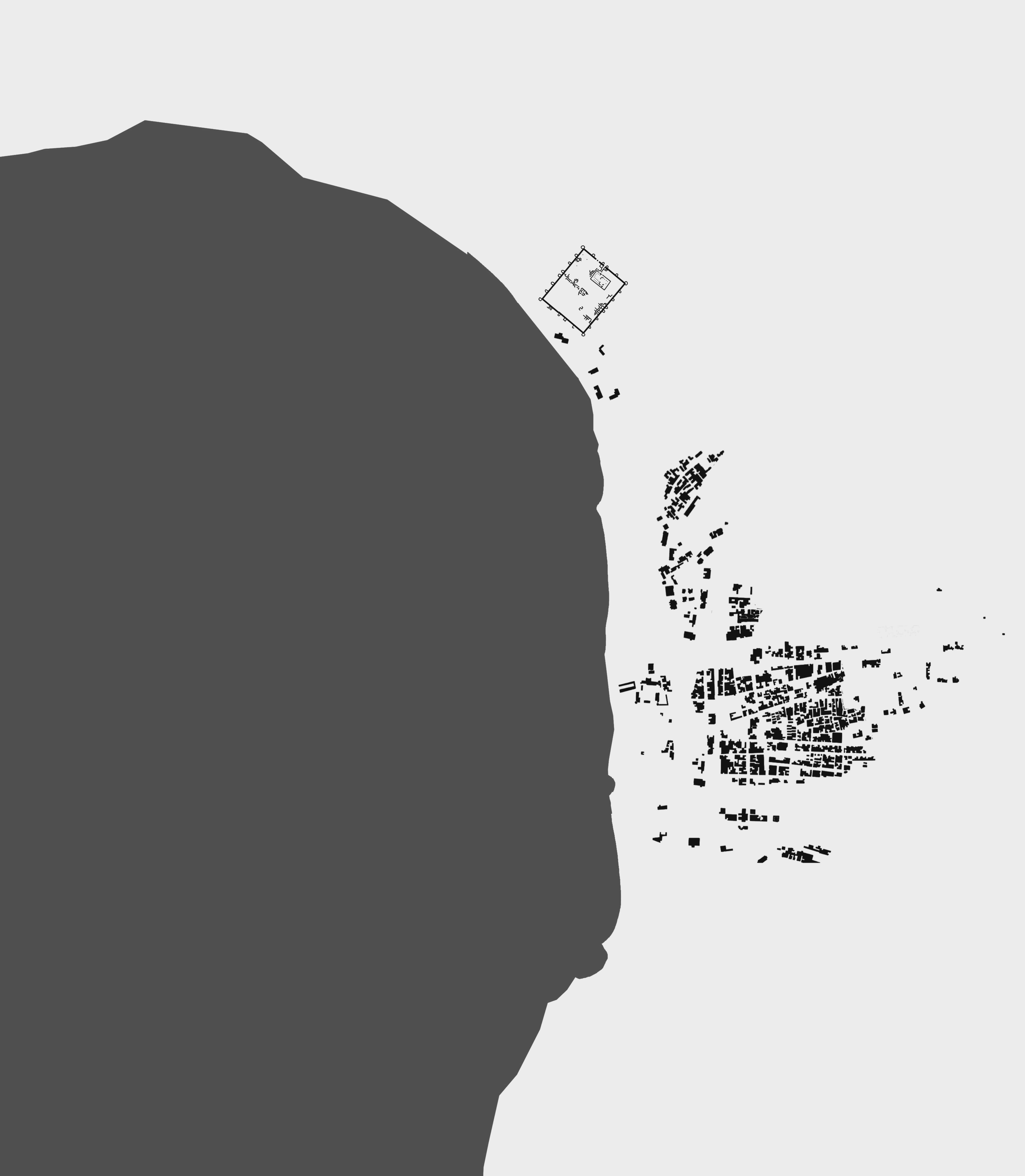
| 19:31, 19 April 2018 | Early development1.jpg (file) |  |
1.92 MB | Nawwars (talk | contribs) | 1 | |
| 19:30, 19 April 2018 | Trade route.JPG (file) |  |
26 KB | Reemh (talk | contribs) | 1 | |
| 19:25, 19 April 2018 | Spider Diagram.jpg (file) |  |
374 KB | Rajendrab (talk | contribs) | 1 | |
| 19:22, 19 April 2018 | 1280px-Isle of Graia (crop).jpg (file) | .jpg) |
245 KB | Reemh (talk | contribs) | 1 | |
| 19:18, 19 April 2018 | Sacred historical Sites and Heritage.png (file) |  |
636 KB | Reemh (talk | contribs) | 2 | |
| 19:18, 19 April 2018 | 133189999.jpg (file) |  |
122 KB | Denisal (talk | contribs) | 1 | |
| 19:16, 19 April 2018 | Plaja-litoral-romanesc.jpg (file) |  |
50 KB | Denisal (talk | contribs) | 1 | |
| 19:15, 19 April 2018 | 14063898 522823807910978 5030999794055147231 n.jpg (file) |  |
26 KB | Denisal (talk | contribs) | 1 | |
| 18:59, 19 April 2018 | Mamlouk Castle.jpg (file) |  |
81 KB | Reemh (talk | contribs) | 1 | |
| 18:58, 19 April 2018 | Suez canal.jpg (file) |  |
52 KB | Ahmedk (talk | contribs) | 1 | |
| 18:54, 19 April 2018 | Byzantine Church.jpg (file) |  |
272 KB | Reemh (talk | contribs) | 1 | |
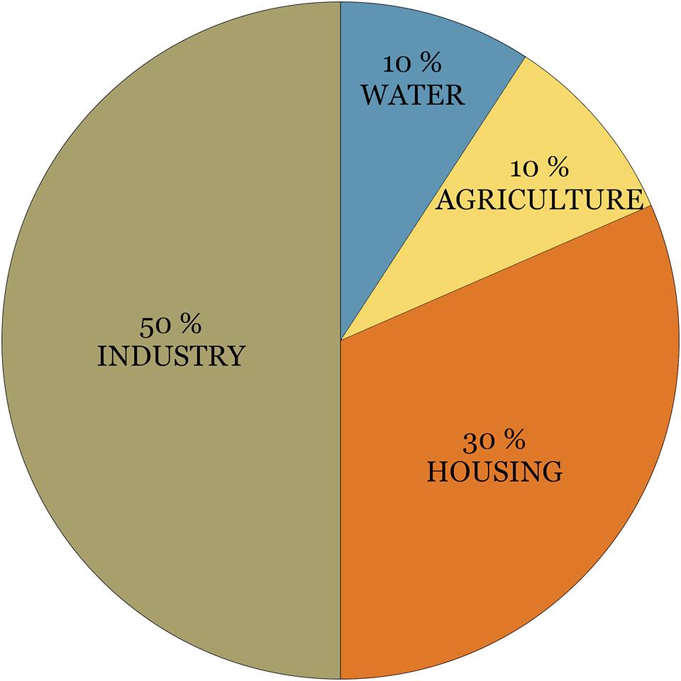
| 18:52, 19 April 2018 | Diagram land use.jpg (file) |  |
43 KB | Denisal (talk | contribs) | 1 | |
| 18:44, 19 April 2018 | Affected Parties.png (file) |  |
29 KB | Nawwars (talk | contribs) | 1 | |
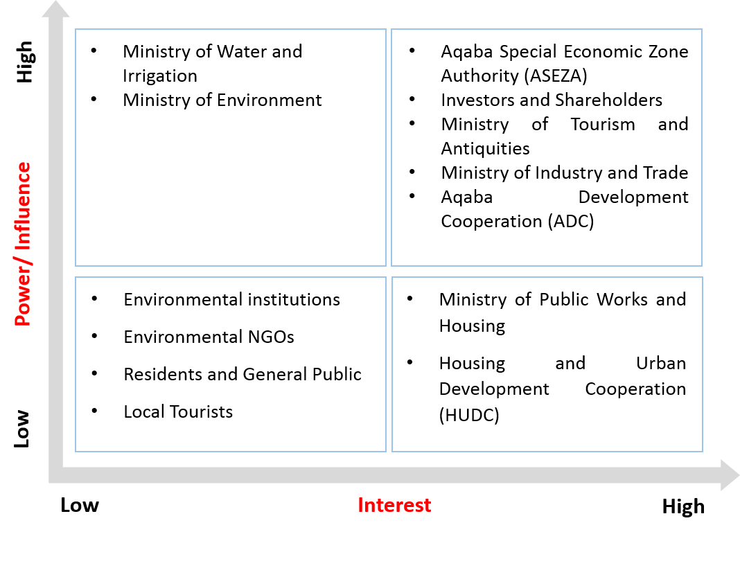
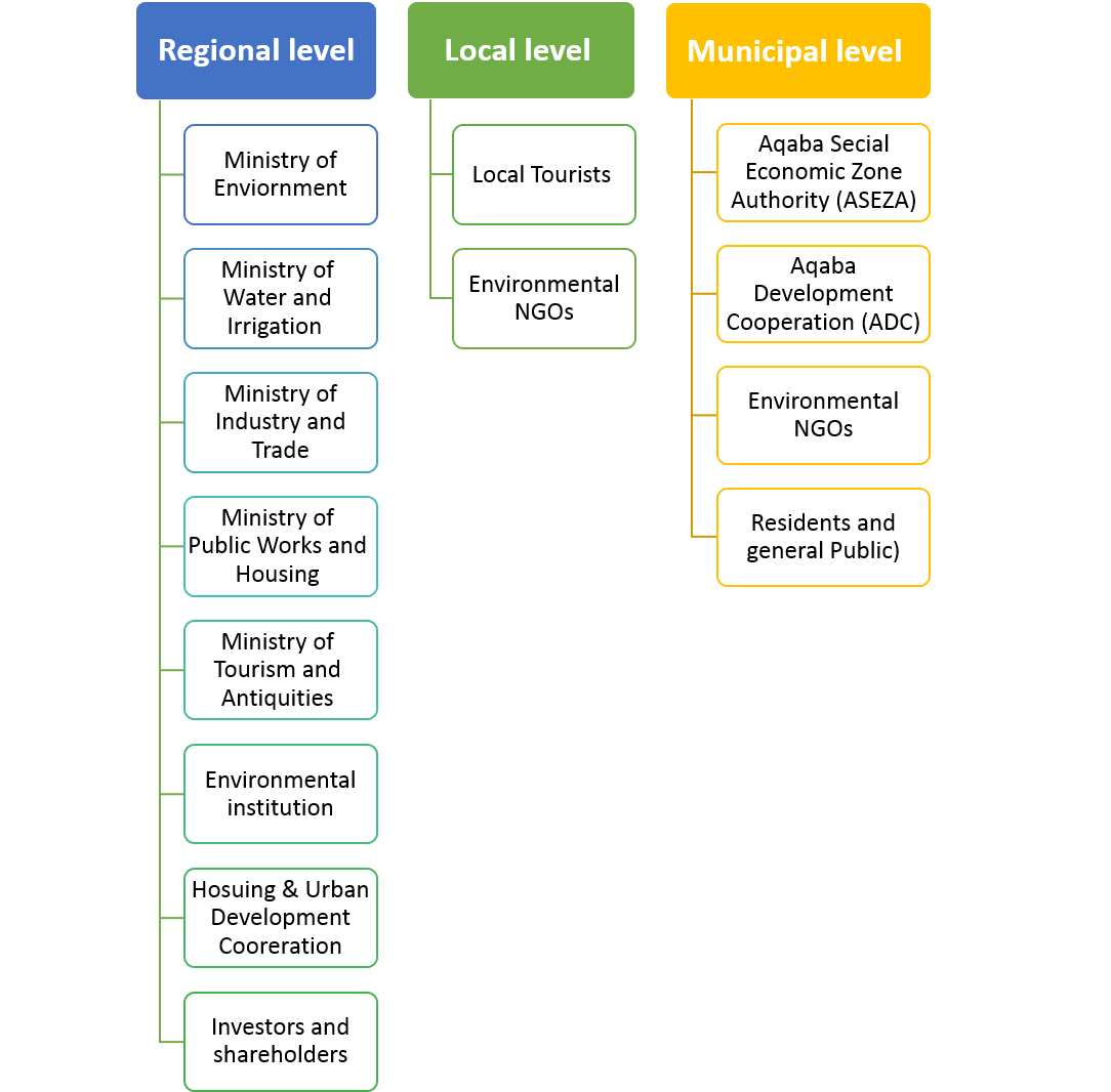
| 18:43, 19 April 2018 | Powermap Aqaba.png (file) |  |
41 KB | Nawwars (talk | contribs) | 1 | |
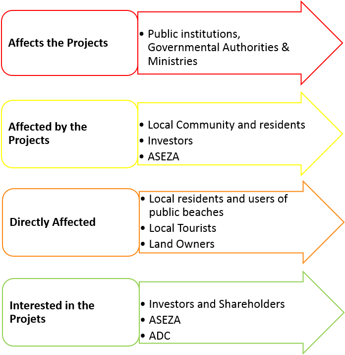
| 18:41, 19 April 2018 | Stakeholders Categories.png (file) |  |
80 KB | Nawwars (talk | contribs) | 1 | |
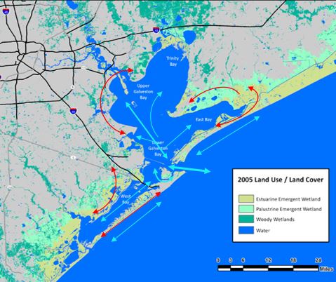
| 18:40, 19 April 2018 | Gb infrastructure.JPG (file) |  |
55 KB | Maggiew (talk | contribs) | Map created by M. Weber Base map: Source: The National Oceanic and Atmospheric Administration's Coastal Change and Analysis Program | 1 |
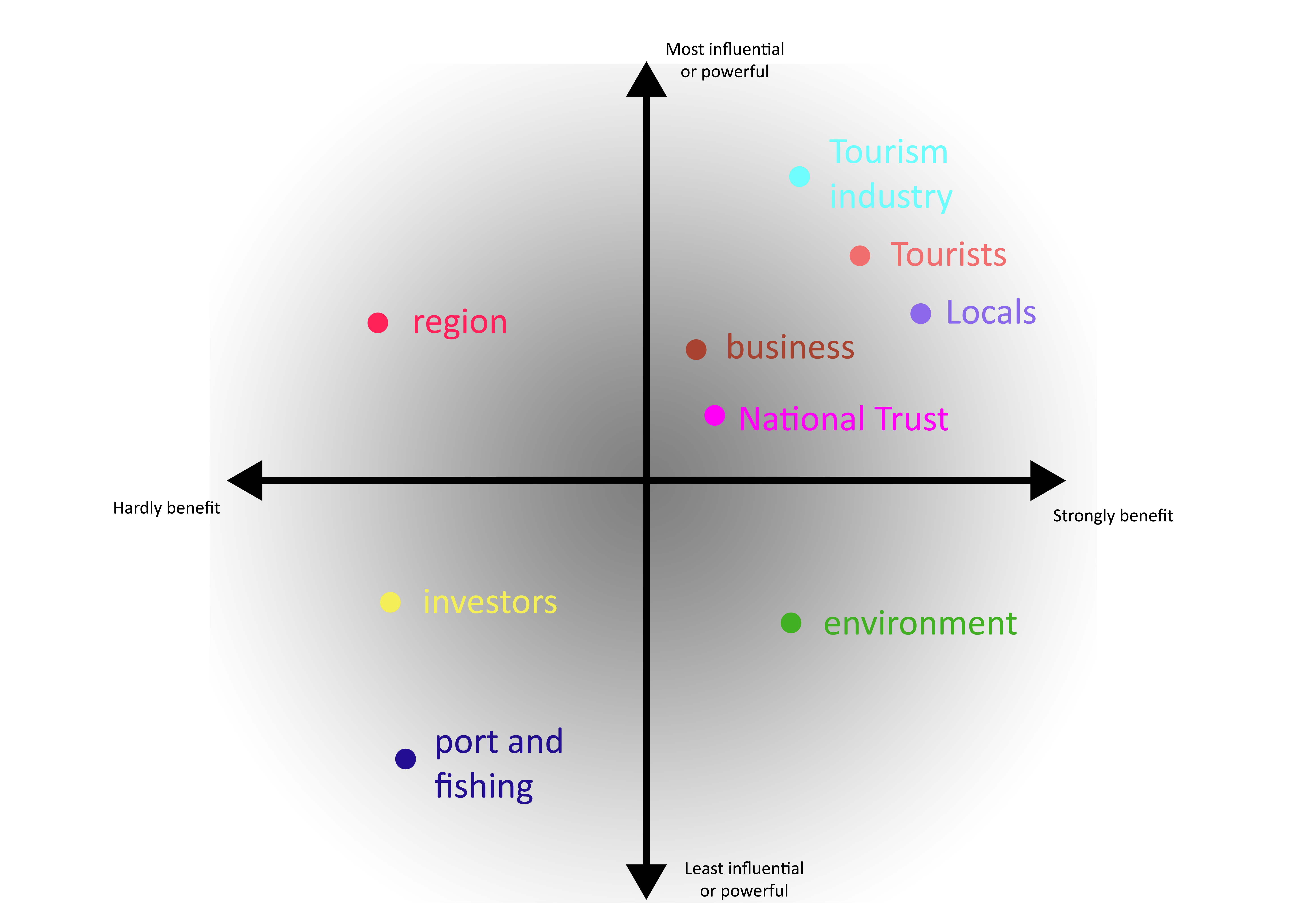
| 18:31, 19 April 2018 | Giant's Causeway Power Map NewVersion.png (file) |  |
577 KB | Melanies (talk | contribs) | 1 | |
| 18:29, 19 April 2018 | Giant's Causeway Power Map Version.png (file) | Error creating thumbnail: File with dimensions greater than 12.5 MP |
1.11 MB | Melanies (talk | contribs) | 1 | |
| 18:26, 19 April 2018 | Giant's Causeway Power Map.jpg (file) |  |
1.14 MB | Melanies (talk | contribs) | 1 | |
| 18:24, 19 April 2018 | Power Map Giant's Causeway.jpg (file) |  |
1.14 MB | Melanies (talk | contribs) | Reverted to version as of 18:22, 19 April 2018 (UTC) | 3 |
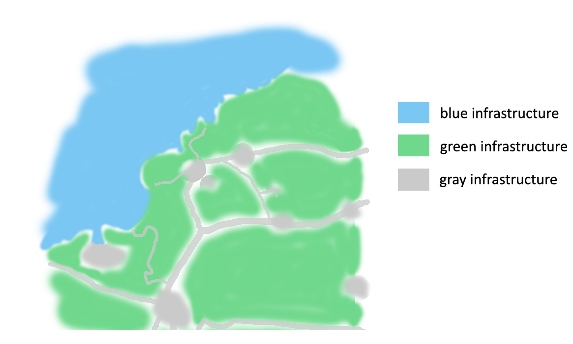
| 18:18, 19 April 2018 | Green and Blue infrastructure Giant's Causeway.jpg (file) |  |
156 KB | Melanies (talk | contribs) | 1 | |
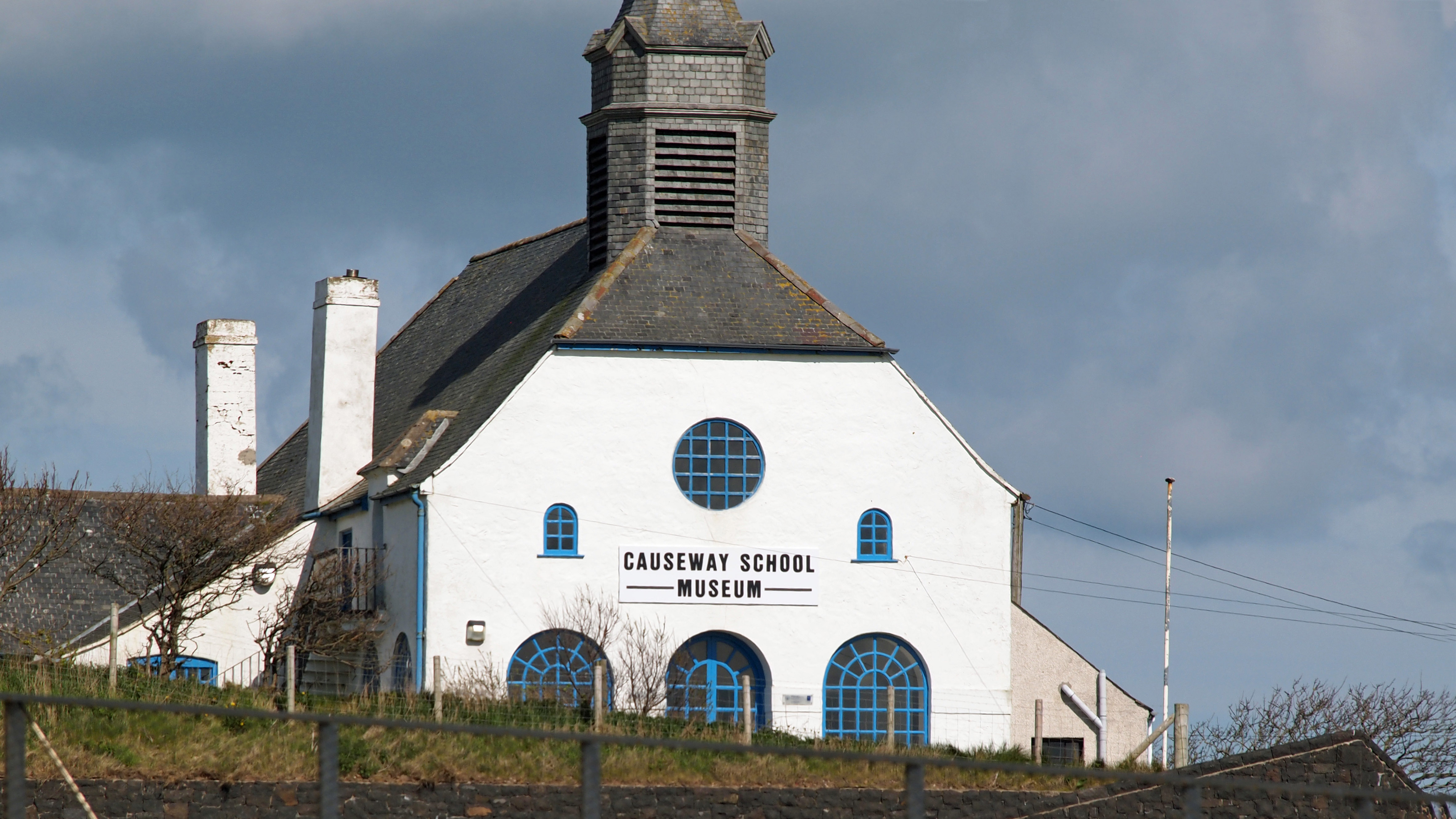
| 18:17, 19 April 2018 | School and Museum near Giant's Causeway.jpg (file) |  |
1.47 MB | Melanies (talk | contribs) | author: Bob Munroe link: https://flic.kr/p/oLPviK | 1 |
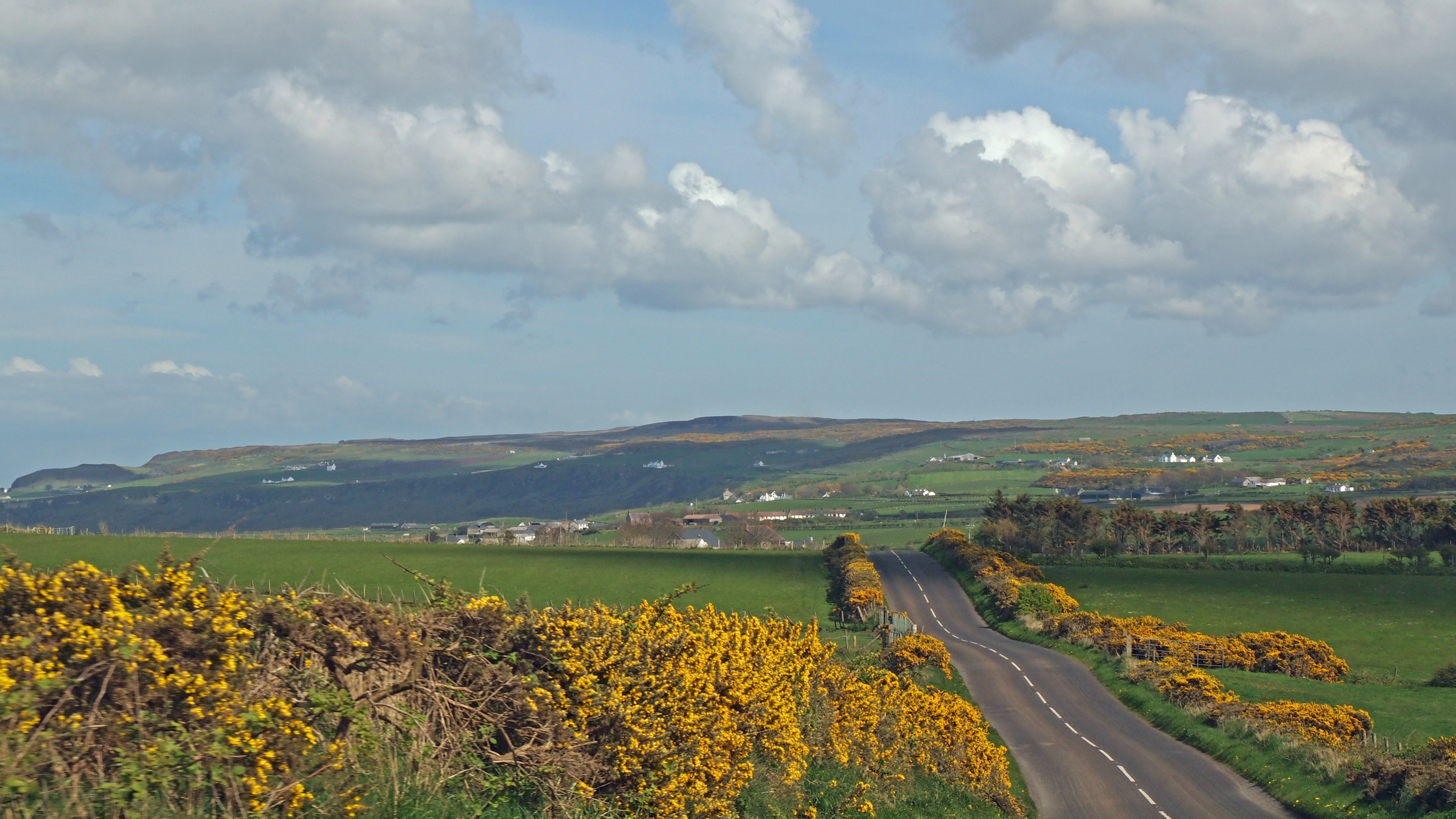
| 18:15, 19 April 2018 | Road and green Areas in Northern Ireland.jpg (file) |  |
1.49 MB | Melanies (talk | contribs) | author: Bob Munroe link: https://flic.kr/p/oLQd9a | 1 |
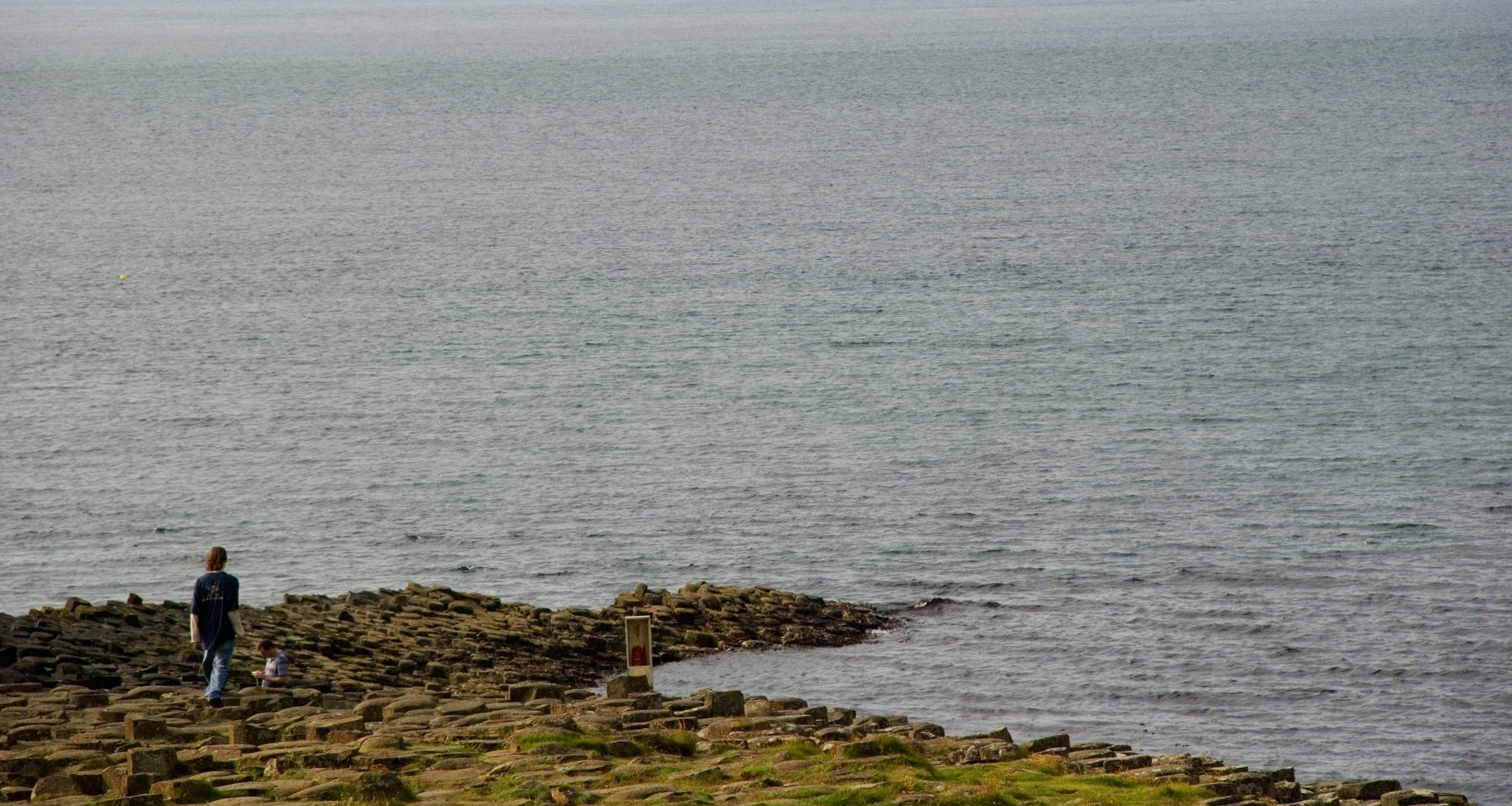
| 18:14, 19 April 2018 | Water Area on Giant's Causeway.jpg (file) |  |
1.79 MB | Melanies (talk | contribs) | author: Jeff Giles link: https://flic.kr/p/6AfCAR | 1 |
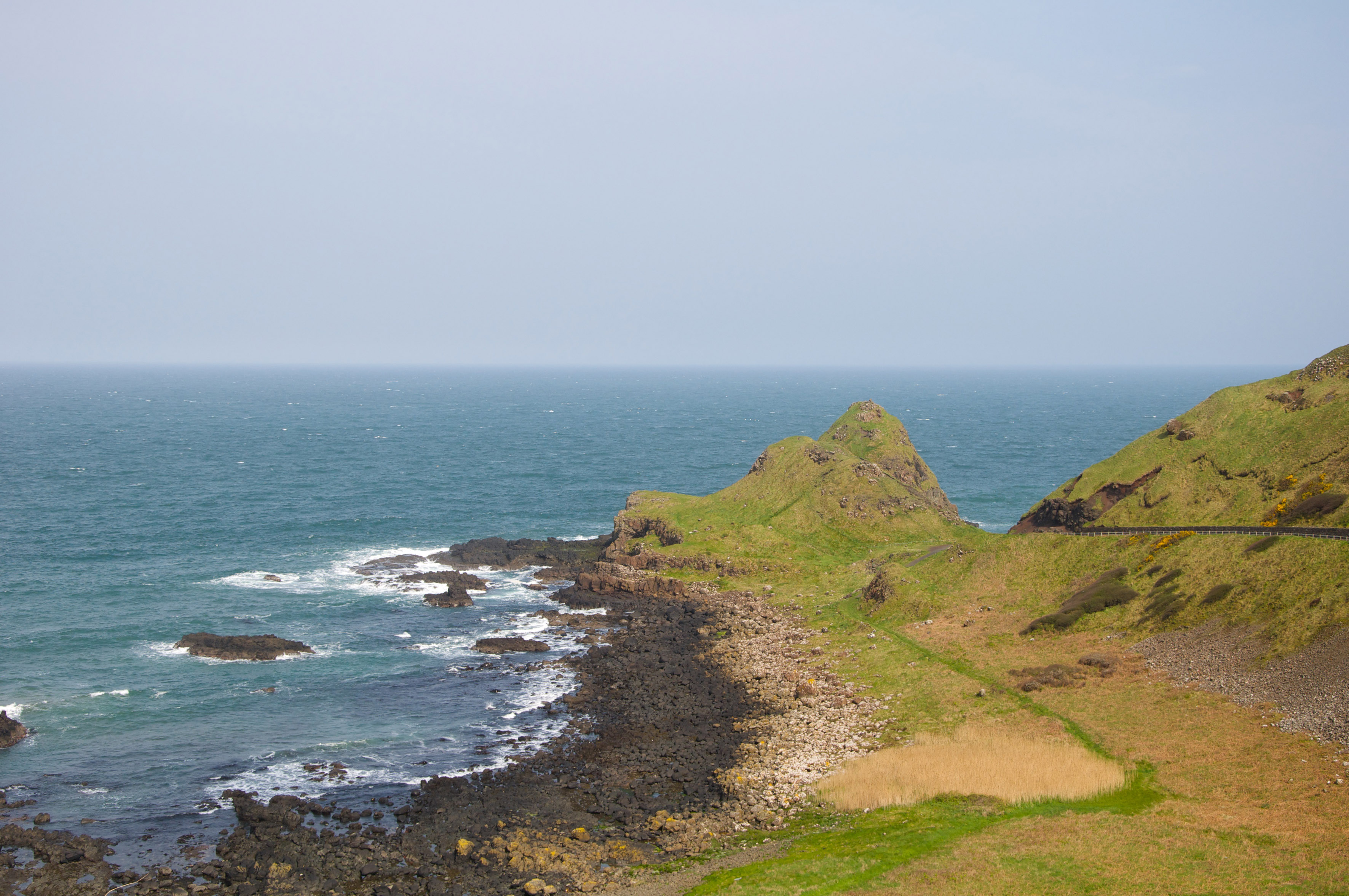
| 18:00, 19 April 2018 | Other view to the Giant's Causeway.jpg (file) |  |
1.32 MB | Melanies (talk | contribs) | author: haselton68 link: https://flic.kr/p/6ij29h | 1 |