File:Galveston Bay Map c. 1900.jpg
Jump to navigation
Jump to search
No higher resolution available.
Galveston_Bay_Map_c._1900.jpg (292 × 448 pixels, file size: 24 KB, MIME type: image/jpeg)
Summary
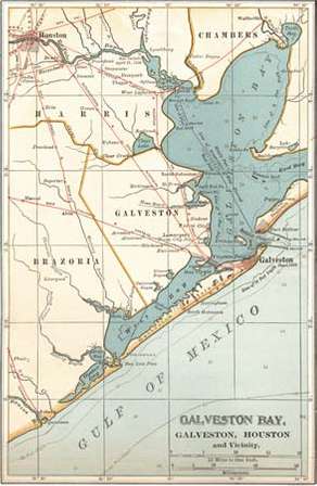
Map of Galveston Bay, Houston, and vicinity (c. 1900), from the 10th edition of Encyclopædia Britannica. Encyclopædia Britannica, Inc Acquired from: www.britannica.com/place/Galveston-Bay
Licensing
File history
Click on a date/time to view the file as it appeared at that time.
| Date/Time | Thumbnail | Dimensions | User | Comment | |
|---|---|---|---|---|---|
| current | 21:53, 18 April 2018 | | 292 × 448 (24 KB) | Maggiew (talk | contribs) | Map of Galveston Bay, Houston, and vicinity (c. 1900), from the 10th edition of Encyclopædia Britannica. Encyclopædia Britannica, Inc Acquired from: www.britannica.com/place/Galveston-Bay |
You cannot overwrite this file.
File usage
The following page uses this file: