File:Gb infrastructure.JPG
Jump to navigation
Jump to search
No higher resolution available.
Gb_infrastructure.JPG (479 × 402 pixels, file size: 55 KB, MIME type: image/jpeg)
Summary
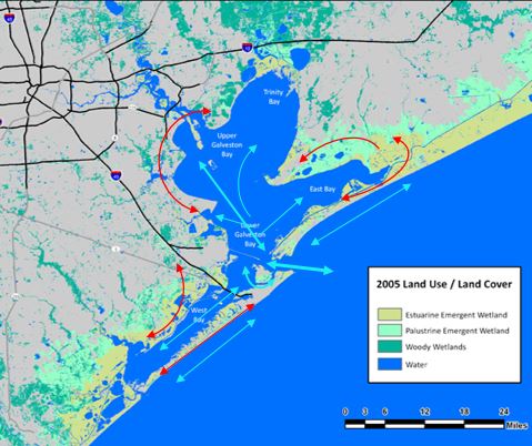
Map created by M. Weber Base map: Source: The National Oceanic and Atmospheric Administration's Coastal Change and Analysis Program
Licensing
File history
Click on a date/time to view the file as it appeared at that time.
| Date/Time | Thumbnail | Dimensions | User | Comment | |
|---|---|---|---|---|---|
| current | 18:40, 19 April 2018 | | 479 × 402 (55 KB) | Maggiew (talk | contribs) | Map created by M. Weber Base map: Source: The National Oceanic and Atmospheric Administration's Coastal Change and Analysis Program |
You cannot overwrite this file.
File usage
The following page uses this file: