Uploads by Mariep
Jump to navigation
Jump to search
This special page shows all uploaded files.
| Date | Name | Thumbnail | Size | Description | Versions |
|---|---|---|---|---|---|
| 07:21, 15 June 2018 | Goodbridge.jpg (file) | 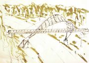 |
441 KB | 1 | |
| 07:15, 15 June 2018 | Lastdiagram.jpg (file) | 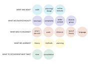 |
70 KB | 1 | |
| 23:47, 14 June 2018 | Newtransect.jpg (file) | 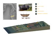 |
682 KB | 1 | |
| 22:37, 14 June 2018 | Boat.jpg (file) | 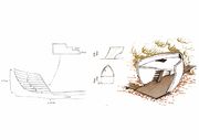 |
515 KB | 1 | |
| 21:48, 14 June 2018 | Dia2.jpg (file) | 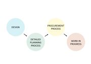 |
40 KB | 1 | |
| 21:48, 14 June 2018 | Dia1.jpg (file) | 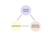 |
36 KB | 1 | |
| 21:13, 14 June 2018 | Smaler map.jpg (file) | 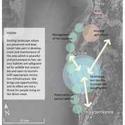 |
354 KB | 1 | |
| 11:27, 14 June 2018 | Diagram fin.jpg (file) | 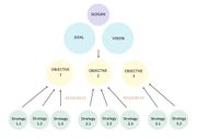 |
59 KB | 1 | |
| 11:10, 14 June 2018 | New diagram.jpg (file) | 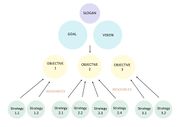 |
60 KB | 1 | |
| 07:14, 13 June 2018 | Backgroundparnu.jpg (file) | 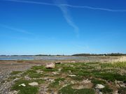 |
929 KB | 1 | |
| 07:09, 13 June 2018 | Riskandpotentials.png (file) | 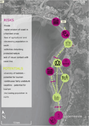 |
1.73 MB | 1 | |
| 07:05, 13 June 2018 | Interventionboat.jpg (file) | 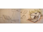 |
442 KB | 1 | |
| 06:56, 13 June 2018 | Bridge.jpg (file) | 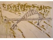 |
583 KB | 1 | |
| 06:52, 13 June 2018 | Parnuareatransect.jpg (file) | 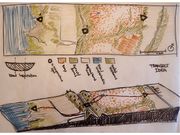 |
730 KB | 1 | |
| 14:30, 12 June 2018 | Landuse simpler.jpg (file) | 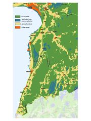 |
145 KB | 1 | |
| 09:08, 29 May 2018 | Finfin.png (file) | 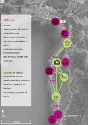 |
1.73 MB | 1 | |
| 09:04, 29 May 2018 | Bestofliisi.png (file) | 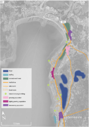 |
1.31 MB | 1 | |
| 09:04, 29 May 2018 | Bestofcurrents.png (file) | 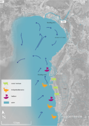 |
1.37 MB | 1 | |
| 09:01, 29 May 2018 | M2.png (file) | 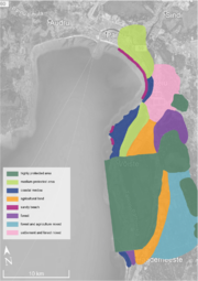 |
1.13 MB | landscape character assessment related to level of protection in certain areas | 1 |
| 12:55, 19 April 2018 | Hypothesisviz.jpg (file) | 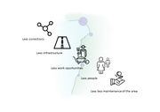 |
52 KB | Hypothesis visualization - what would happen if the area was left to its own causes. | 1 |
| 12:14, 19 April 2018 | Dpsir1.jpg (file) | 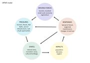 |
67 KB | 1 | |
| 09:00, 19 April 2018 | Dpsri.jpg (file) | 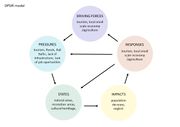 |
66 KB | 1 | |
| 08:58, 19 April 2018 | Powermap.jpg (file) | 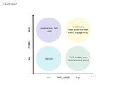 |
43 KB | 1 | |
| 01:08, 19 April 2018 | MG 7738.jpg (file) | 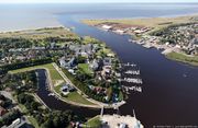 |
321 KB | Delta of Pärnu river sources: http://www.taevapiltnik.ee/blog/tag/aerofoto-parnust/ | 1 |
| 01:01, 19 April 2018 | Bog.jpg (file) | 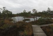 |
280 KB | Luitemaa LKA bogs source: https://get.google.com/albumarchive/117765639814313819676/album/AF1QipPt-j11r-wWkktx6G5T1lG8TYT7HFbd2wRZBEQB/AF1QipNaWnRUcWucU1zvVg0WI3ibOtIdaXUjYBt5gffL?source=pwa#6464820654823054258 | 1 |
| 00:48, 19 April 2018 | Blue green.jpg (file) | 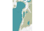 |
357 KB | Map of Blue/Green Infrastructure | 1 |
| 23:45, 18 April 2018 | Parnu coast liisi 2.jpg (file) | 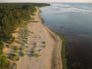 |
492 KB | Lemme beach (source: https://1.bp.blogspot.com/-LYawLCLQO7U/UdcE-be-VyI/AAAAAAAABo8/xUuPR5Kn8QU/s1600/Lemme01.jpg) | 1 |
| 23:43, 18 April 2018 | Parnu coast liisi 1.jpg (file) | 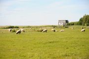 |
103 KB | Sheep at the Kabli coastal meadow (source: http://www.rannatee.ee/vacation-on-romantic-coastline/with-children-on-the-coastline/kabli-beach-and-nature-center) | 1 |
| 23:41, 18 April 2018 | Parnu heridtage liisi 3.jpg (file) |  |
77 KB | Dora-Alviine Kesper (born 1935) - House of Reeders farm in Kabli (source: https://rkhaademeeste.files.wordpress.com/2017/07/k122k.jpg?w=500) | 1 |
| 23:40, 18 April 2018 | Painting 2.jpg (file) | 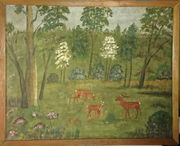 |
635 KB | 1 | |
| 23:40, 18 April 2018 | Painting 1.jpg (file) | 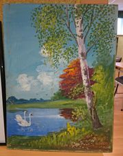 |
996 KB | 1 | |
| 23:35, 18 April 2018 | Parnu corinemap mariep.jpg (file) | 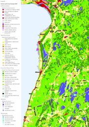 |
1.85 MB | Map of land use (CORINE) Source : http://www.arcgis.com/home/webmap/viewer.html?webmap=6866b2f3a44c4ee3bde8 | 2 |
| 23:32, 18 April 2018 | Parnu coast liisi 3.JPG (file) | 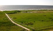 |
467 KB | Valuable landscape - Kabli nature reserve (https://commons.wikimedia.org/wiki/Category:Kabli#/media/File:Kabli_LKA11.JPG) | 1 |
| 23:31, 18 April 2018 | Parnu heridtage liisi 4.jpg (file) |  |
115 KB | Heritage object - an old village street lined with stonewalls in Rannametsa village (source: http://pk.rmk.ee/parandkultuur/RH/RH379.jpg) | 1 |
| 23:30, 18 April 2018 | Parnu heridtage liisi 2.jpg (file) |  |
283 KB | National heritage object - Häädemeeste St. Michaels Church (1874) (source: https://commons.wikimedia.org/wiki/File:H%C3%A4%C3%A4demeeste_kirik_01.jpg) | 2 |